
Tahquamenon River Upper Falls
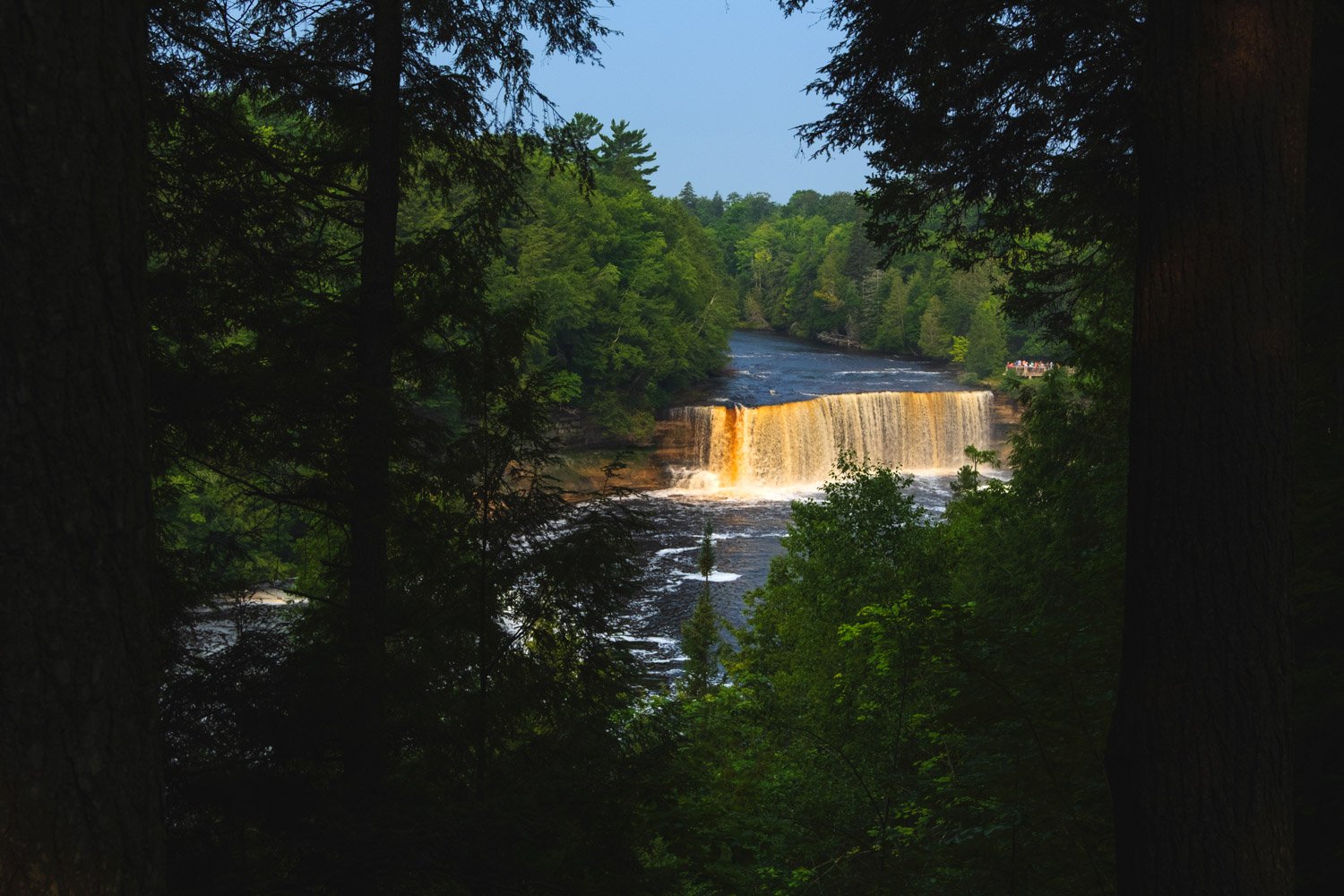
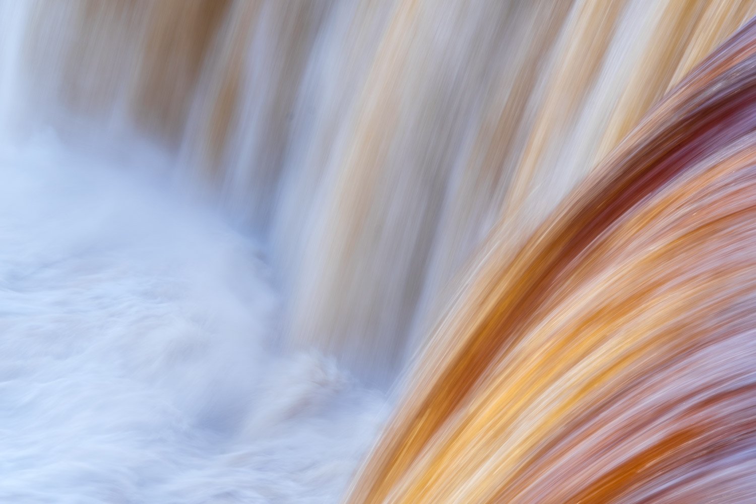
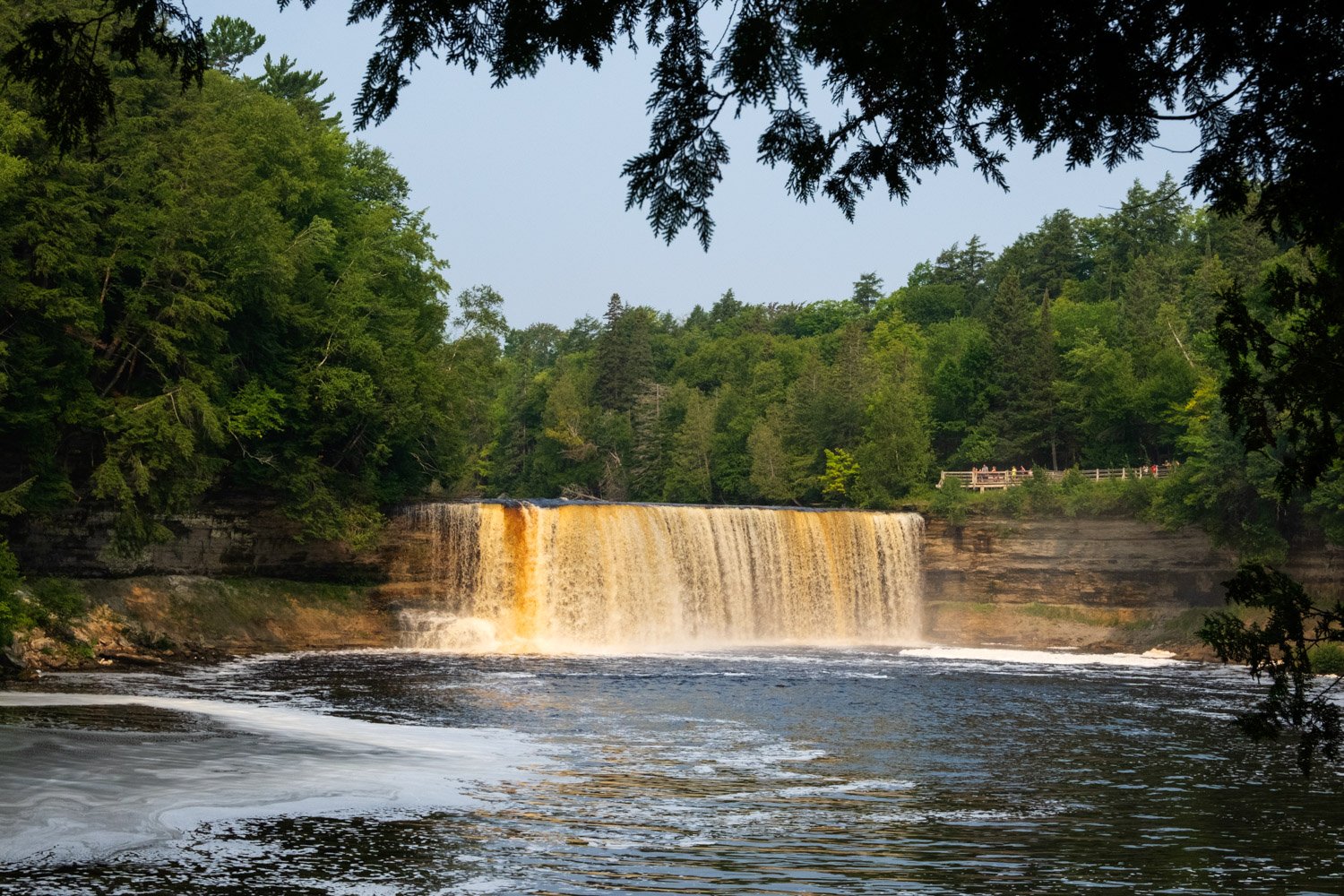
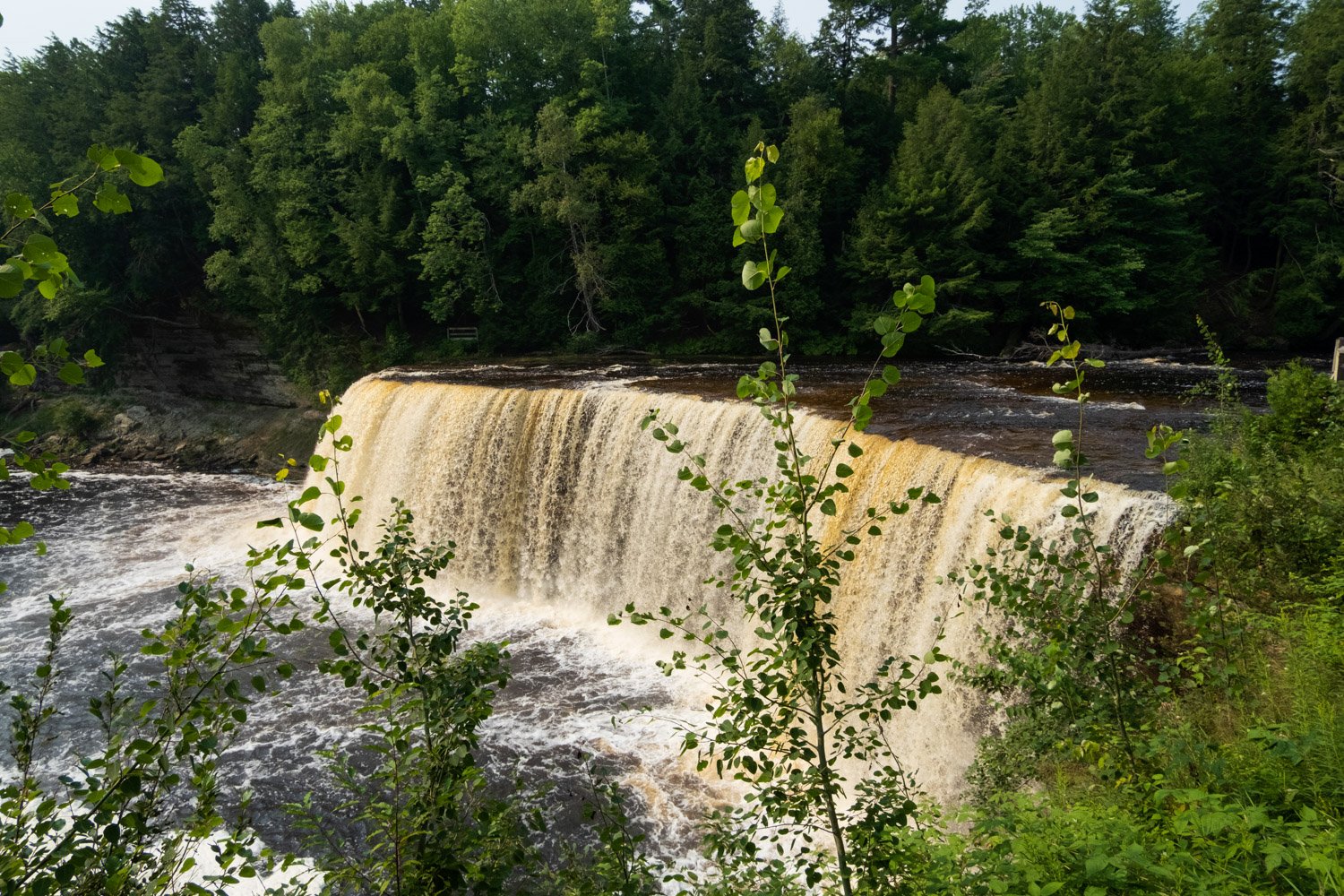
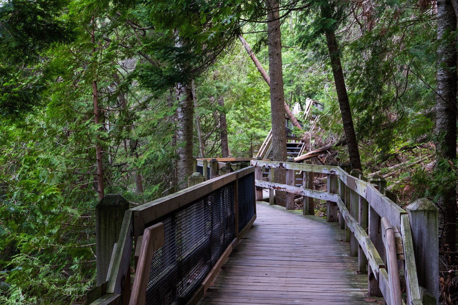
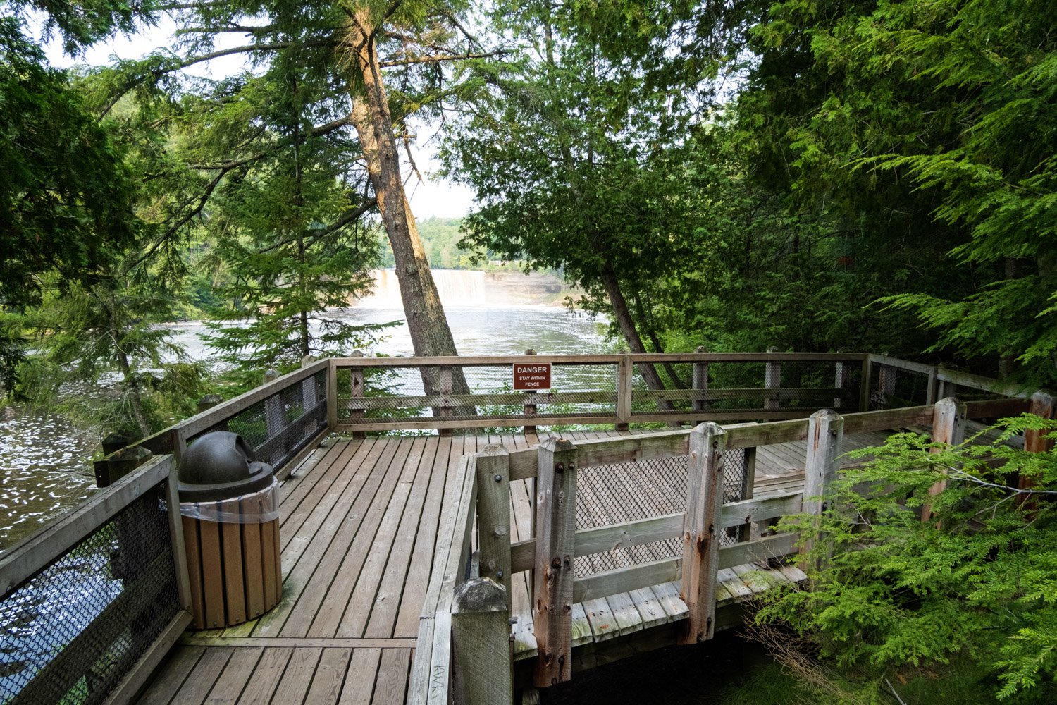
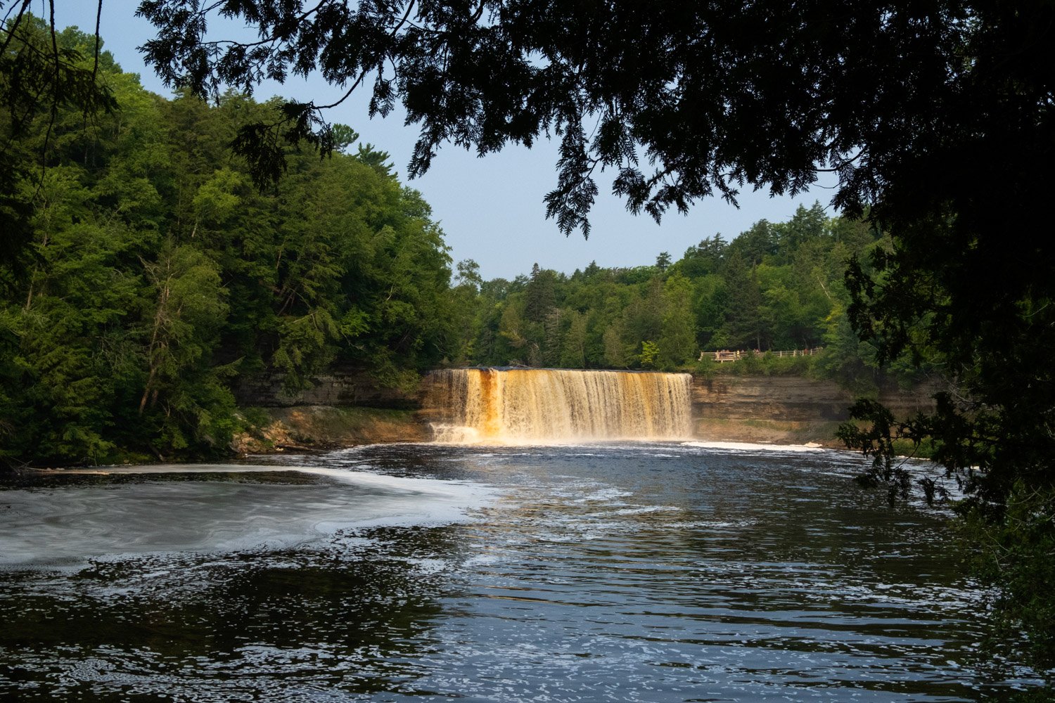
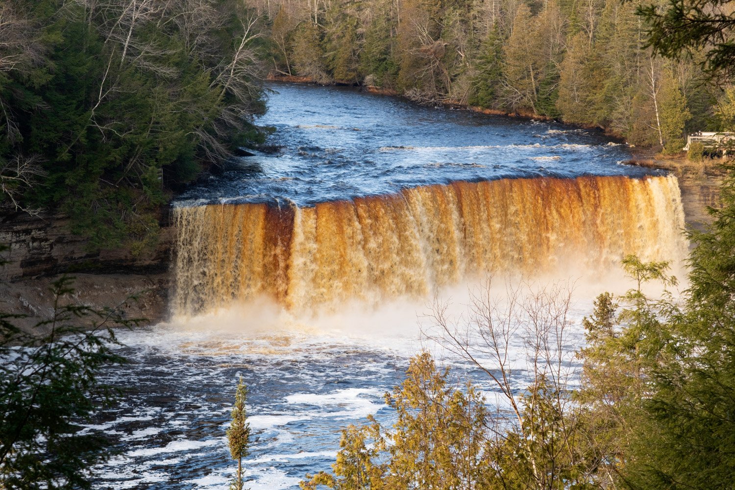

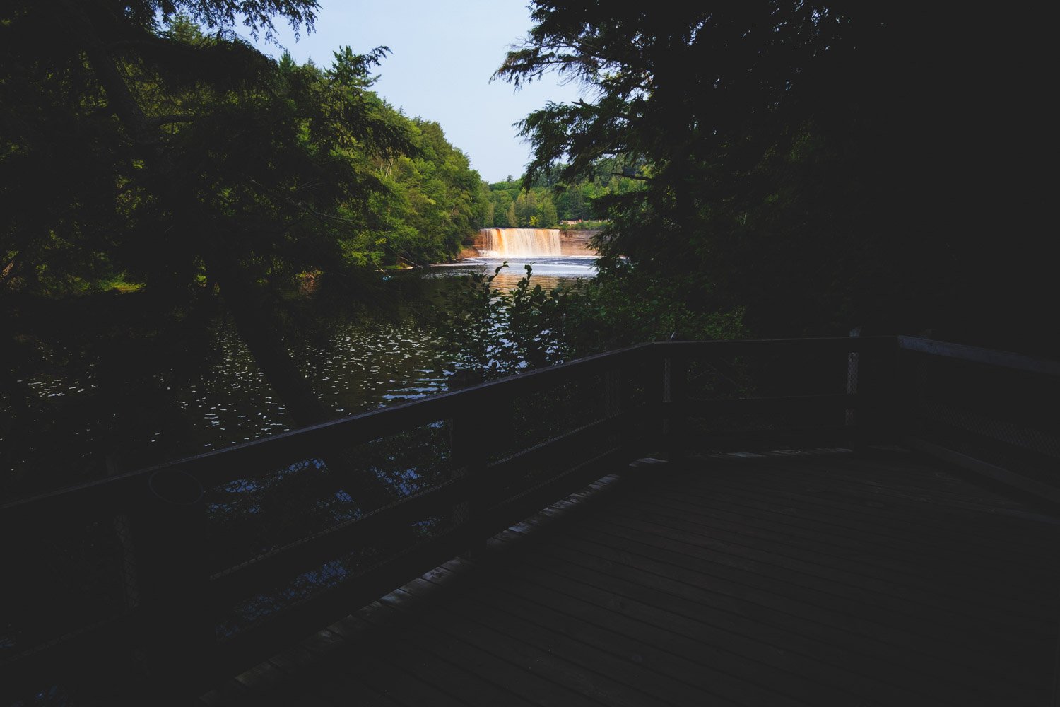
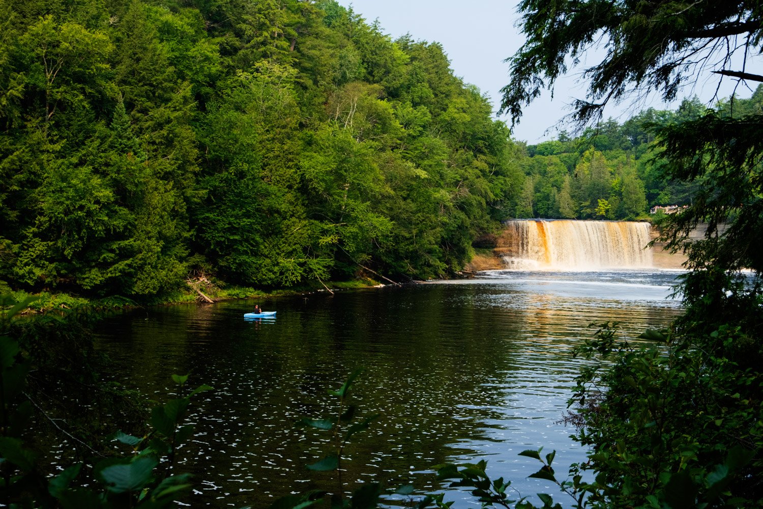
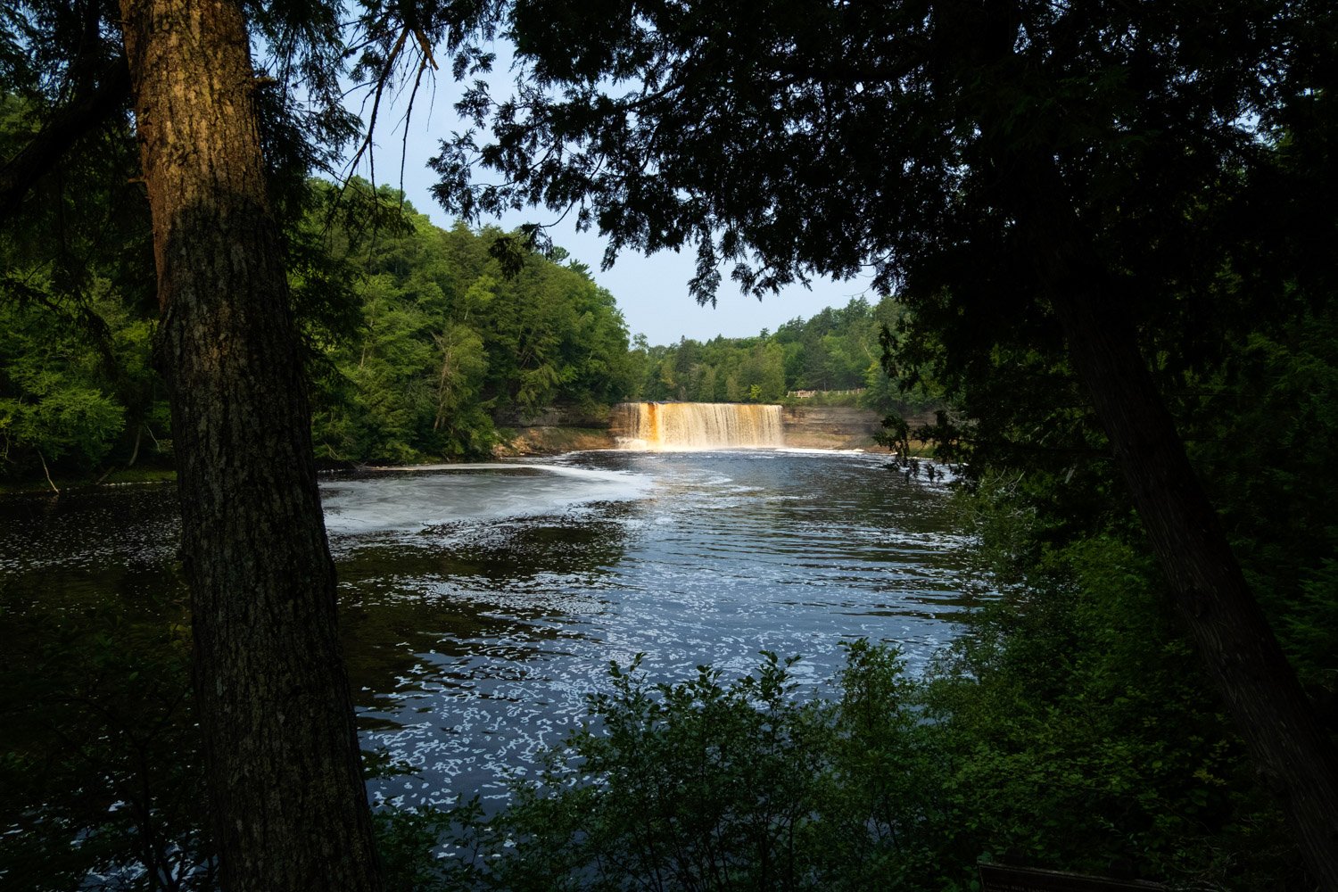
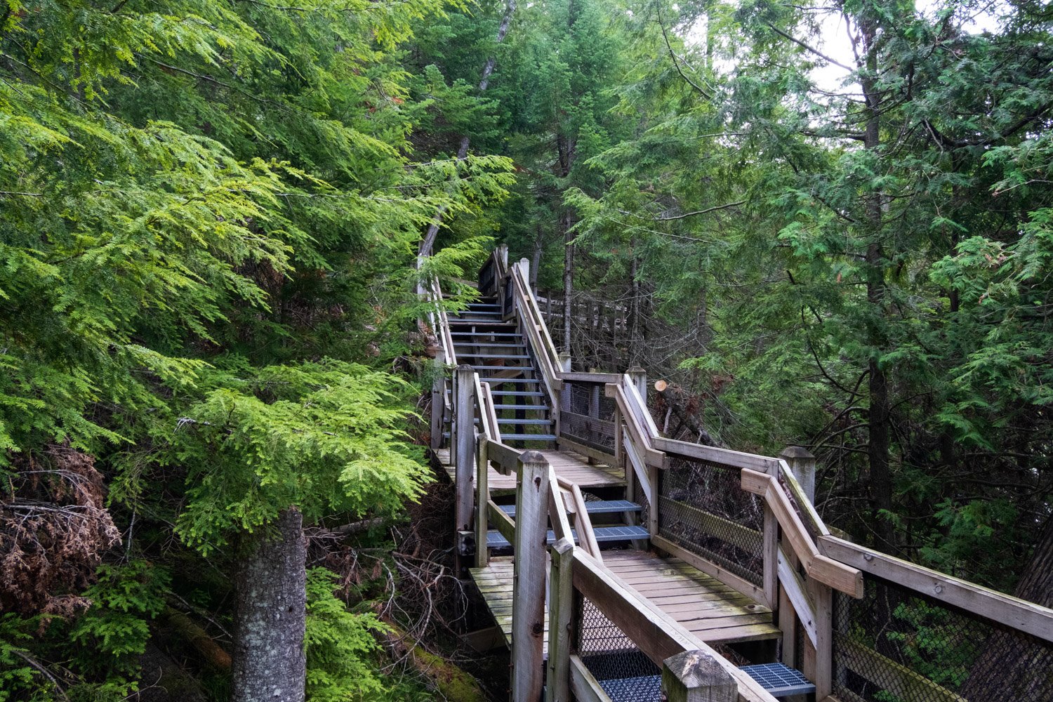
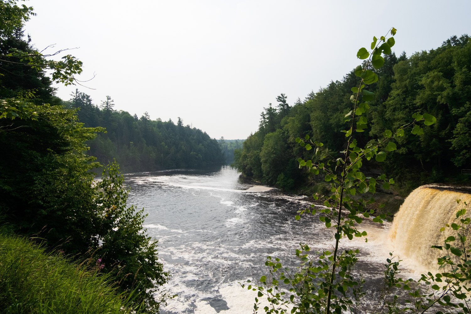
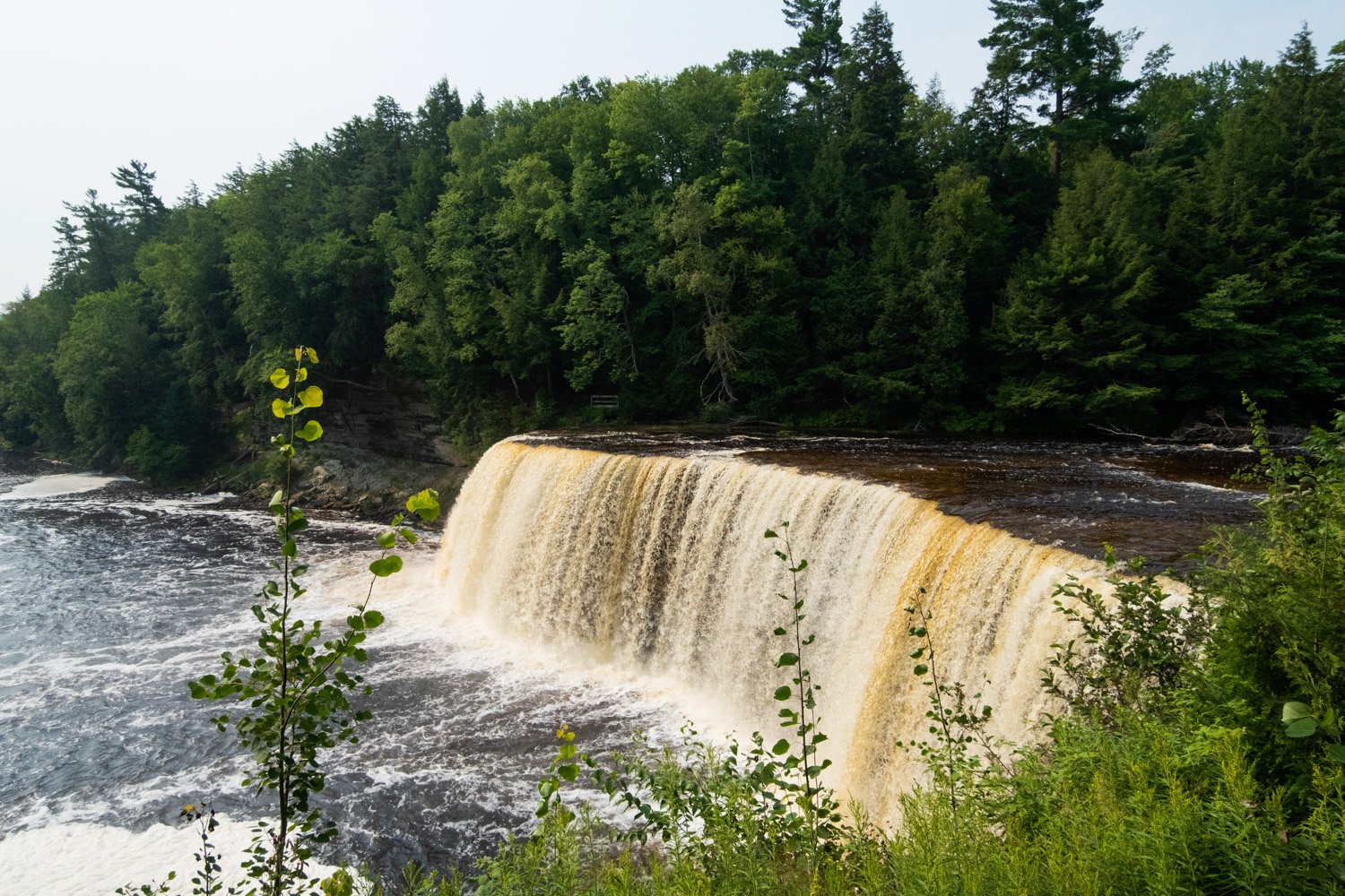
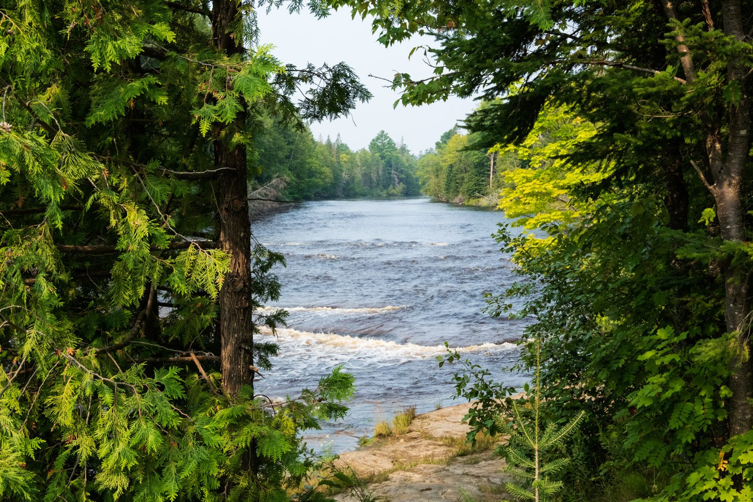
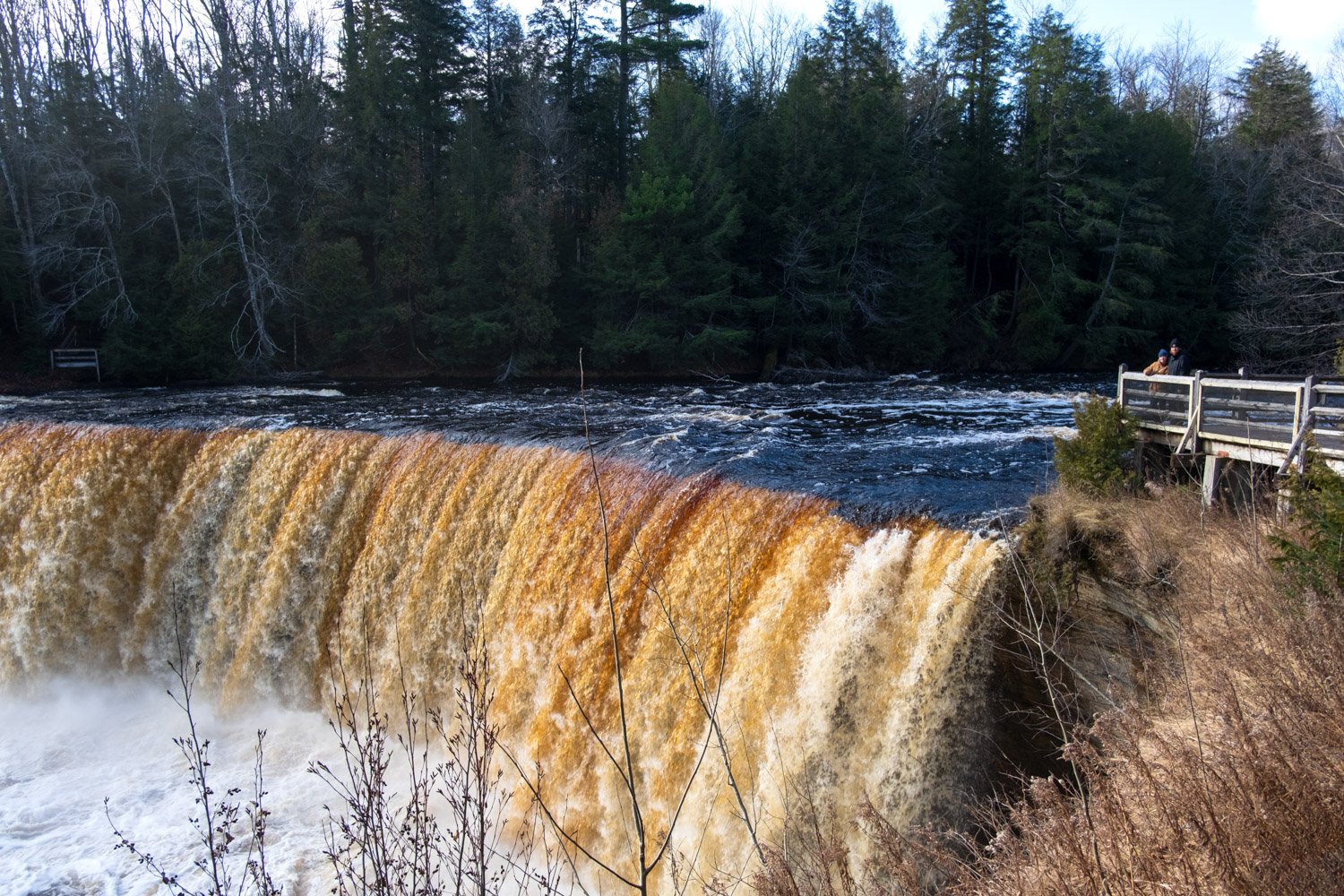
When we visited Tahquamenon Falls in the fall of 2020, we were 2 of probably 5 people viewing the falls in total. It was just after Thanksgiving, and we decided to take a road trip to the Upper Peninsula, camping in the back of a minivan. We were camping at the Lower Falls Campground, so we hopped in the car and drove the 4 or so miles between the campground and the Upper Falls parking lot, expecting there to be a handful of people in the park already. It wasn’t until we had viewed the falls from a number of the different overlooks that we saw anyone else, finally meeting another photographer who I had the pleasure of stopping to chat with for a while. When we made our way down the stairs to the main viewing area, we had the platform to ourselves the entire time we were there, which was quite beautiful. The Upper Falls is one of the largest waterfalls east of the Mississippi and is located within Michigan’s second-largest state park. The 200-foot-wide falls formed due to hard dolomite rock overlapping softer sandstone, and after years of erosion causing the Tahquamenon River to drop nearly 50 feet. I have never been during peak color in the fall, but I can imagine it’s absolutely stunning. As the water roars over the drop, it appears to be a brown color due to the high concentration of tannins the water picks up from the cedar swamps that the river runs through. In the colder months, the lower viewing deck is closed (at least when we visited), but the summer after, we were able to check it out. Although the park was pretty crowded when we visited, we had the lower deck to ourselves, and I liked the view from down there far more than from right next to the falls. No matter your vantage point or what time of year you are visiting Tahquamenon Falls, you are in for a treat.