
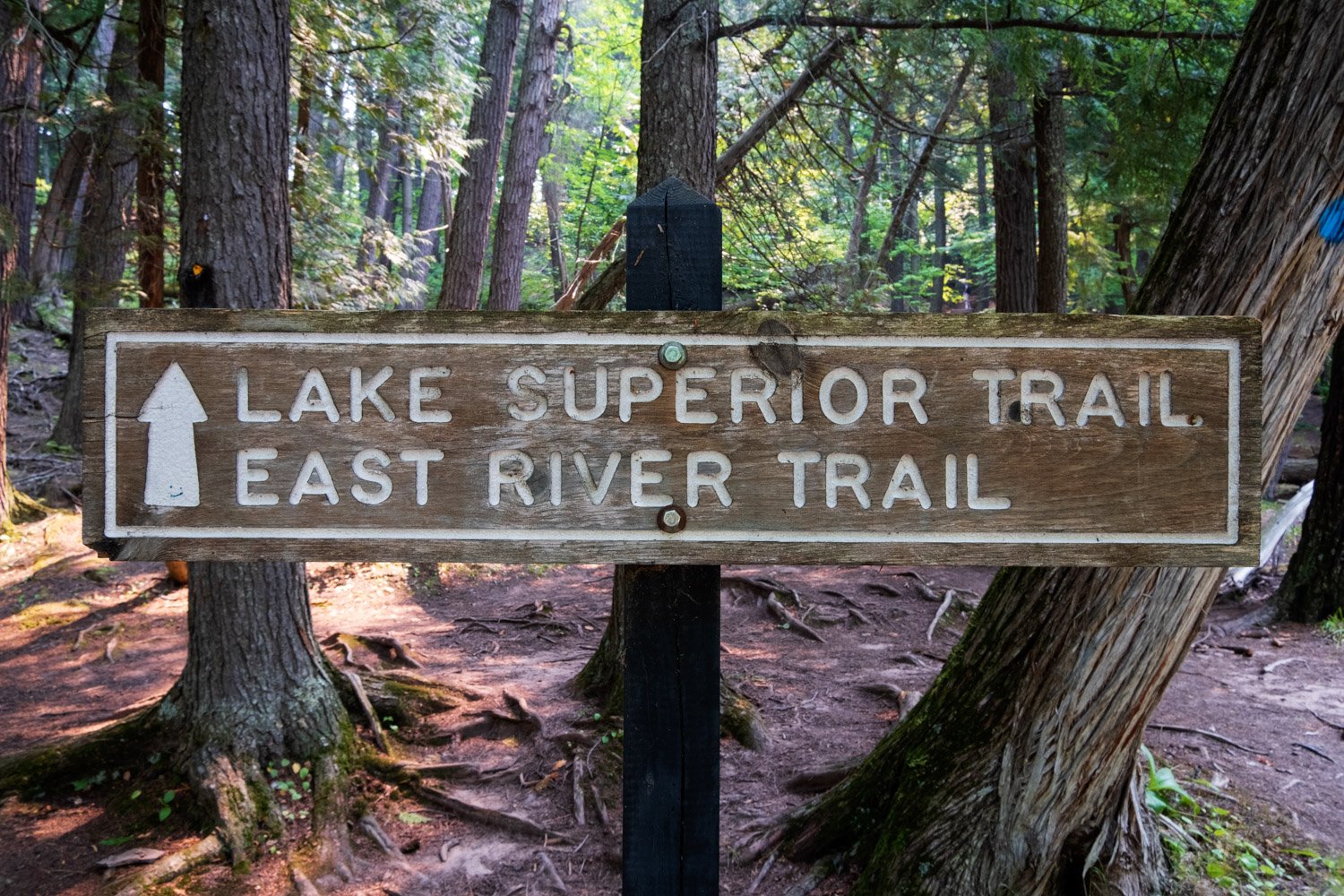
Presque Isle River Area
To spare any confusion, this entry includes all locations within the Presque Isle River Area accessible via the East-West Presque Isle River Trail, as they are close in proximity and easy to confuse. There are a few parking areas, but I would recommend using the main parking area provided in this entry.
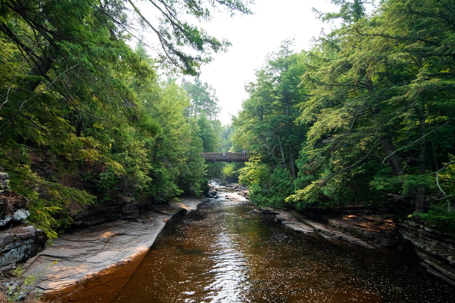
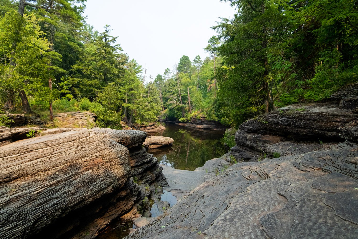
The Presque Isle River area is a diverse area located within the Porcupine Mountains Wilderness State Park that offers access to a great 3-mile hike, a number of waterfalls, unique rapids, Lake Superior’s rocky shoreline, and a wicked cool suspension bridge. We thoroughly enjoyed exploring this area and will definitely be back on our next trip to the Porcupine Mountains.
East & West Presque Isle River Trail
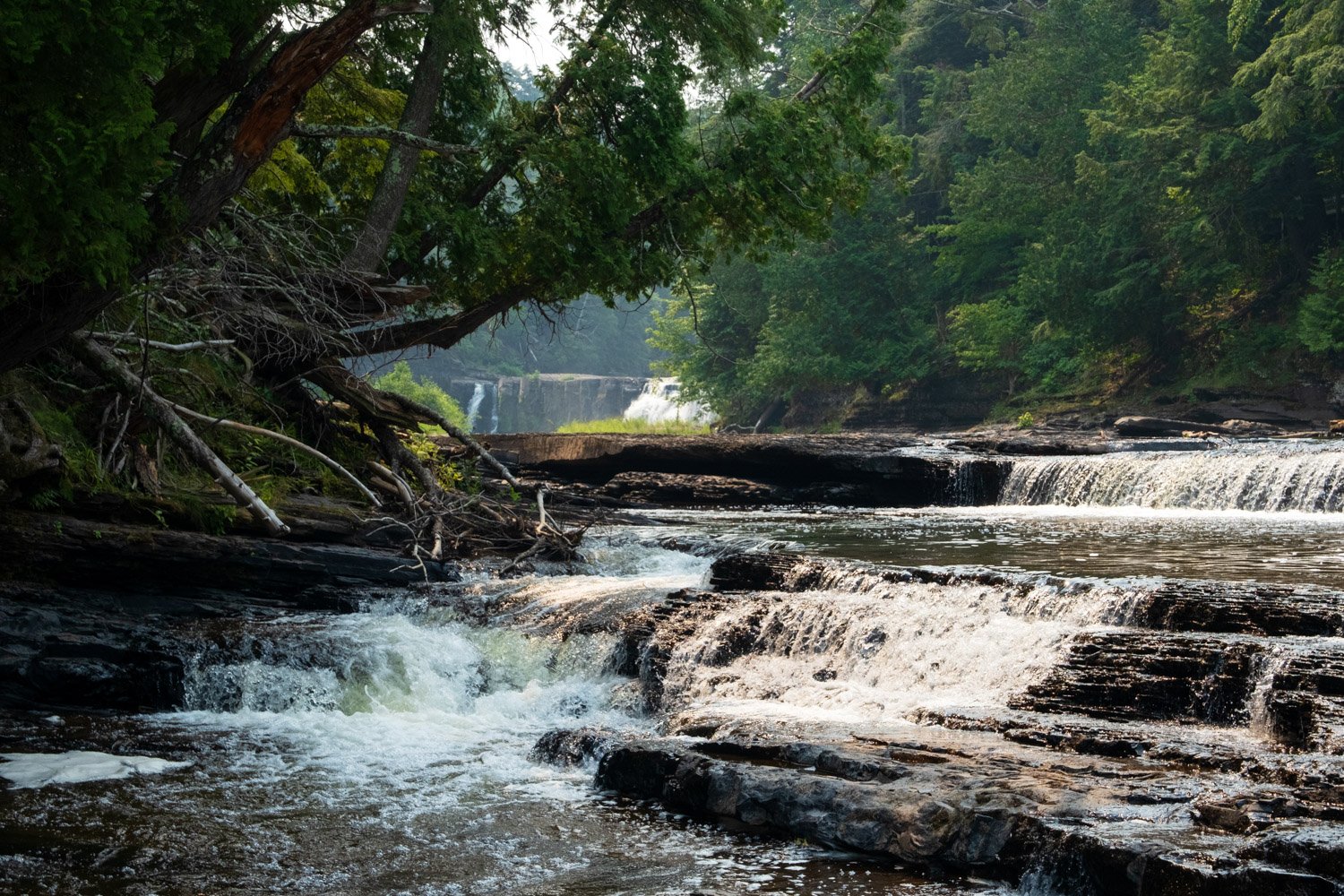
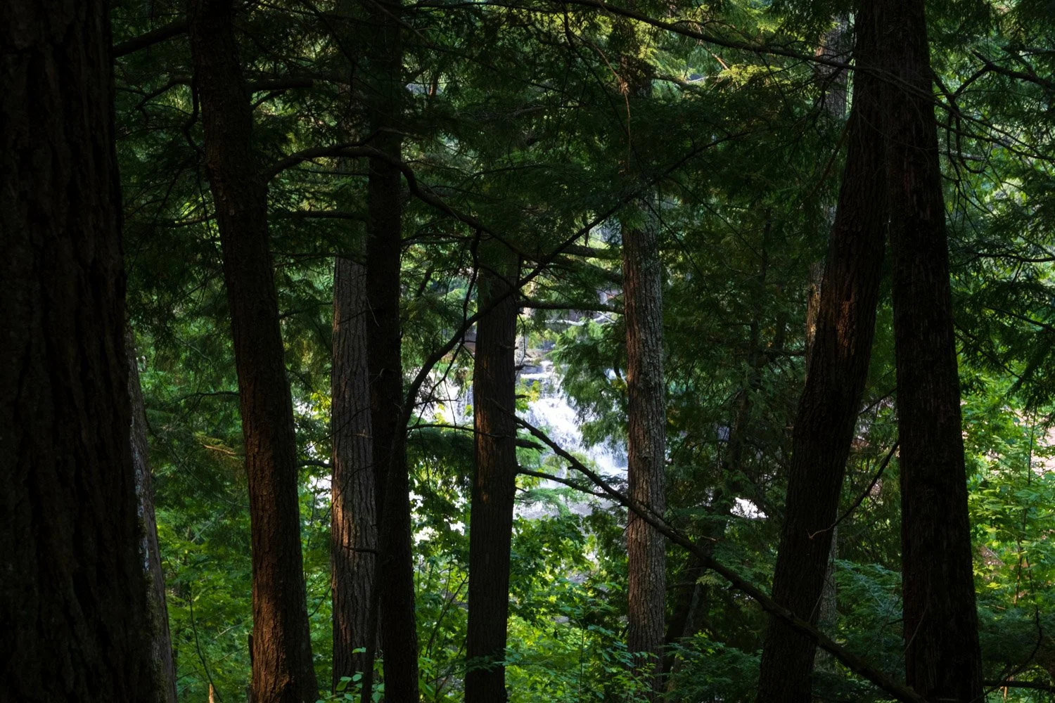
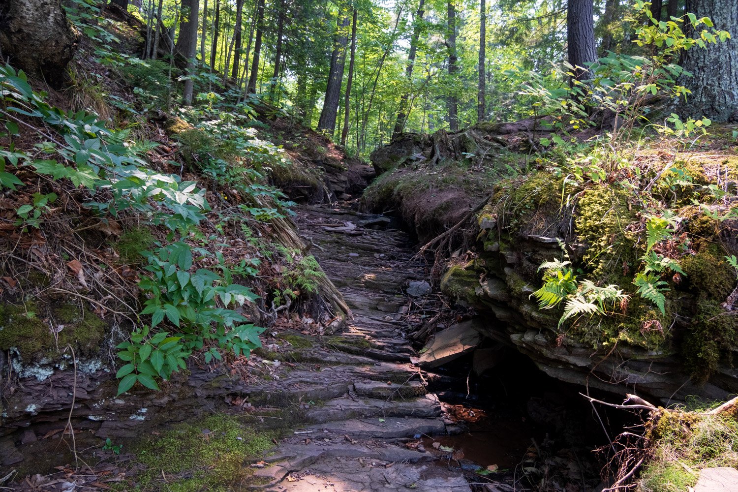
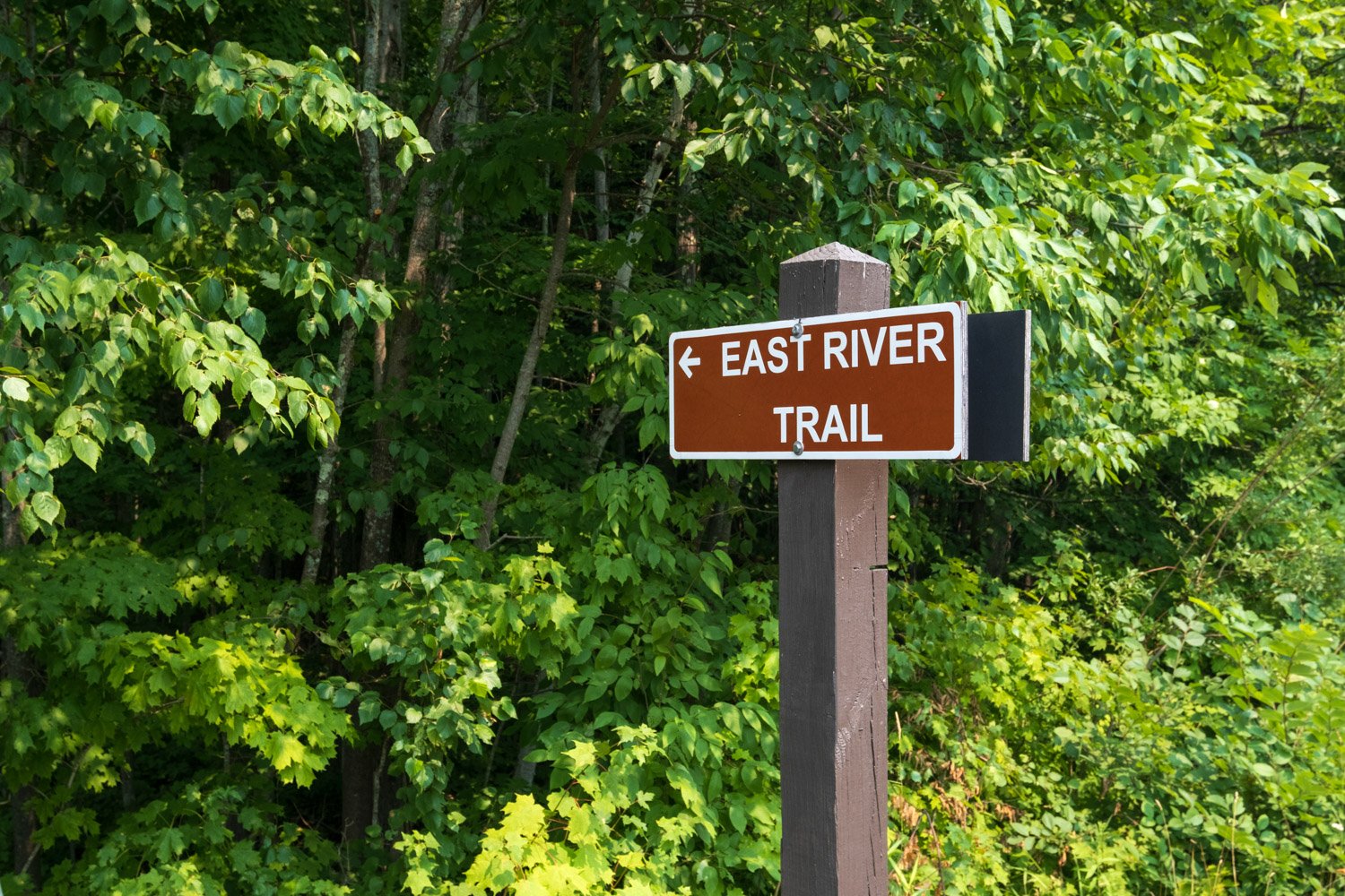
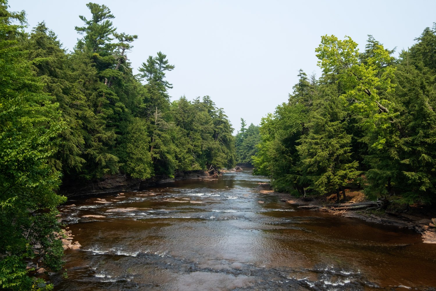
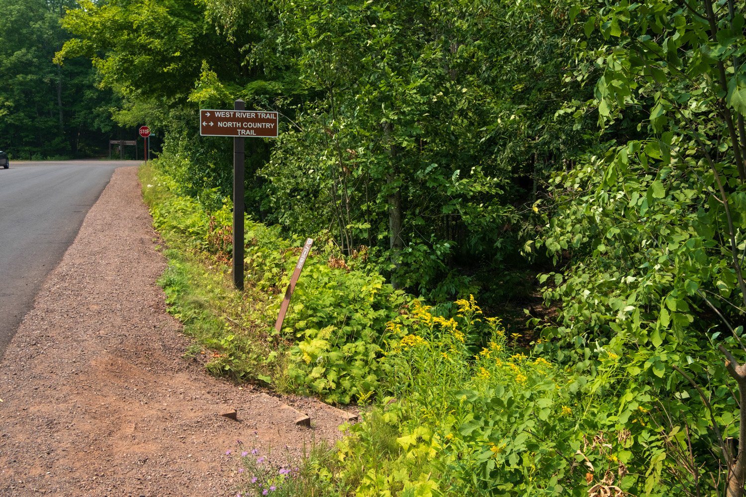
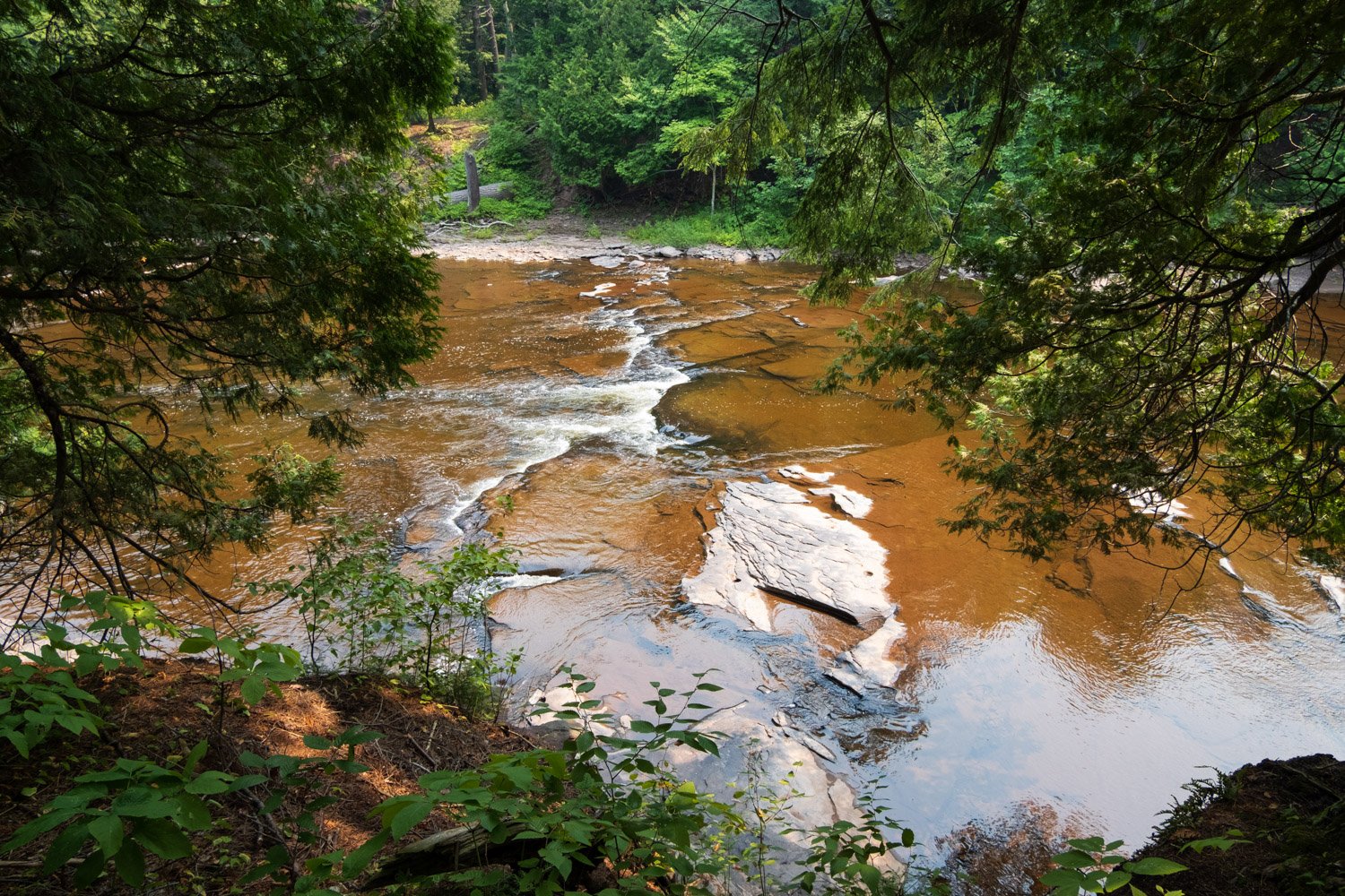
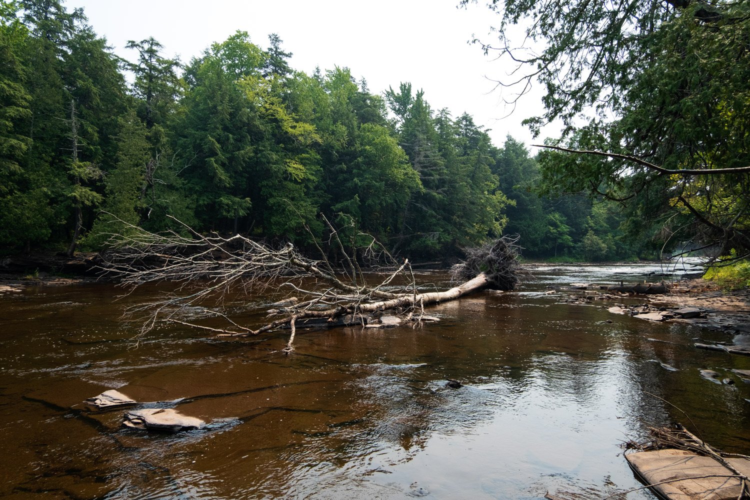
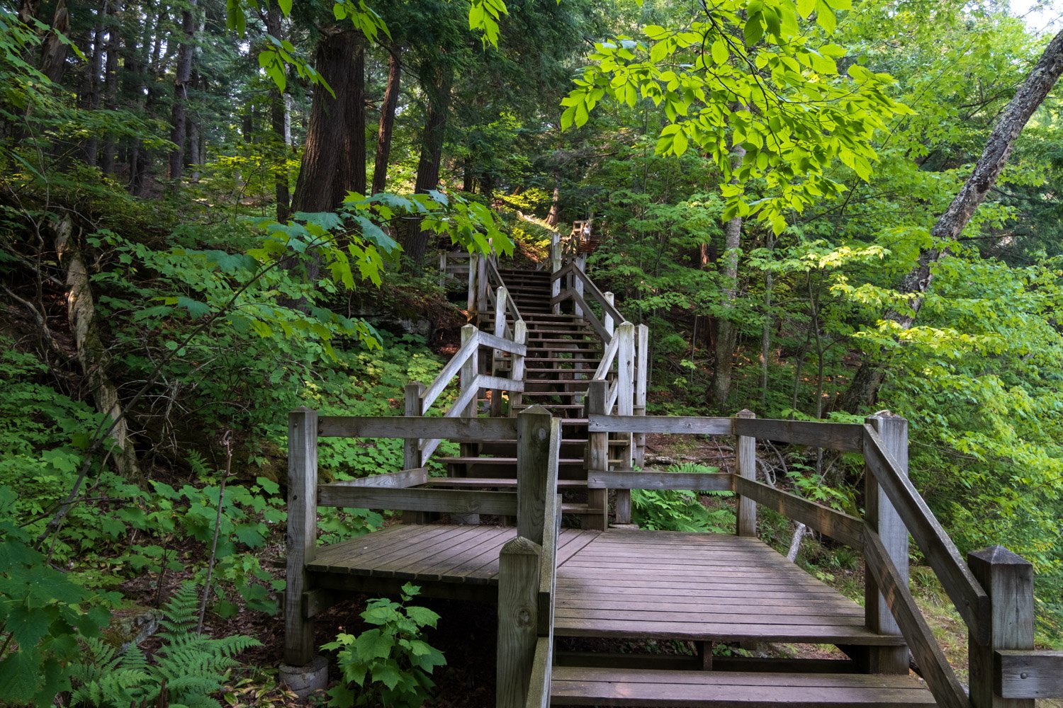
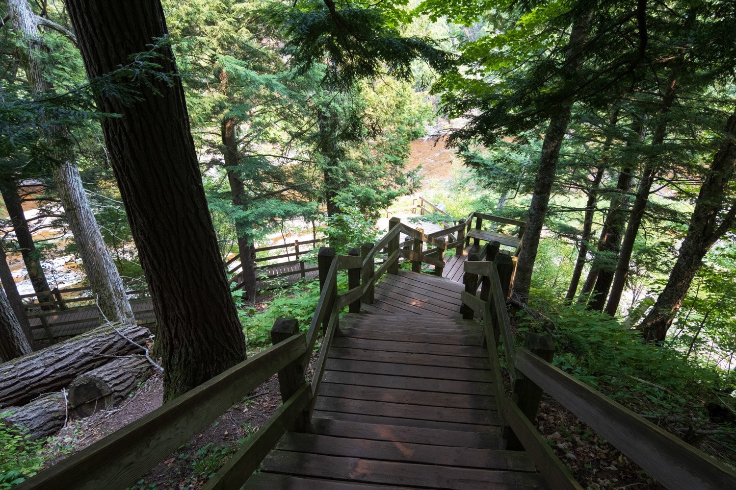
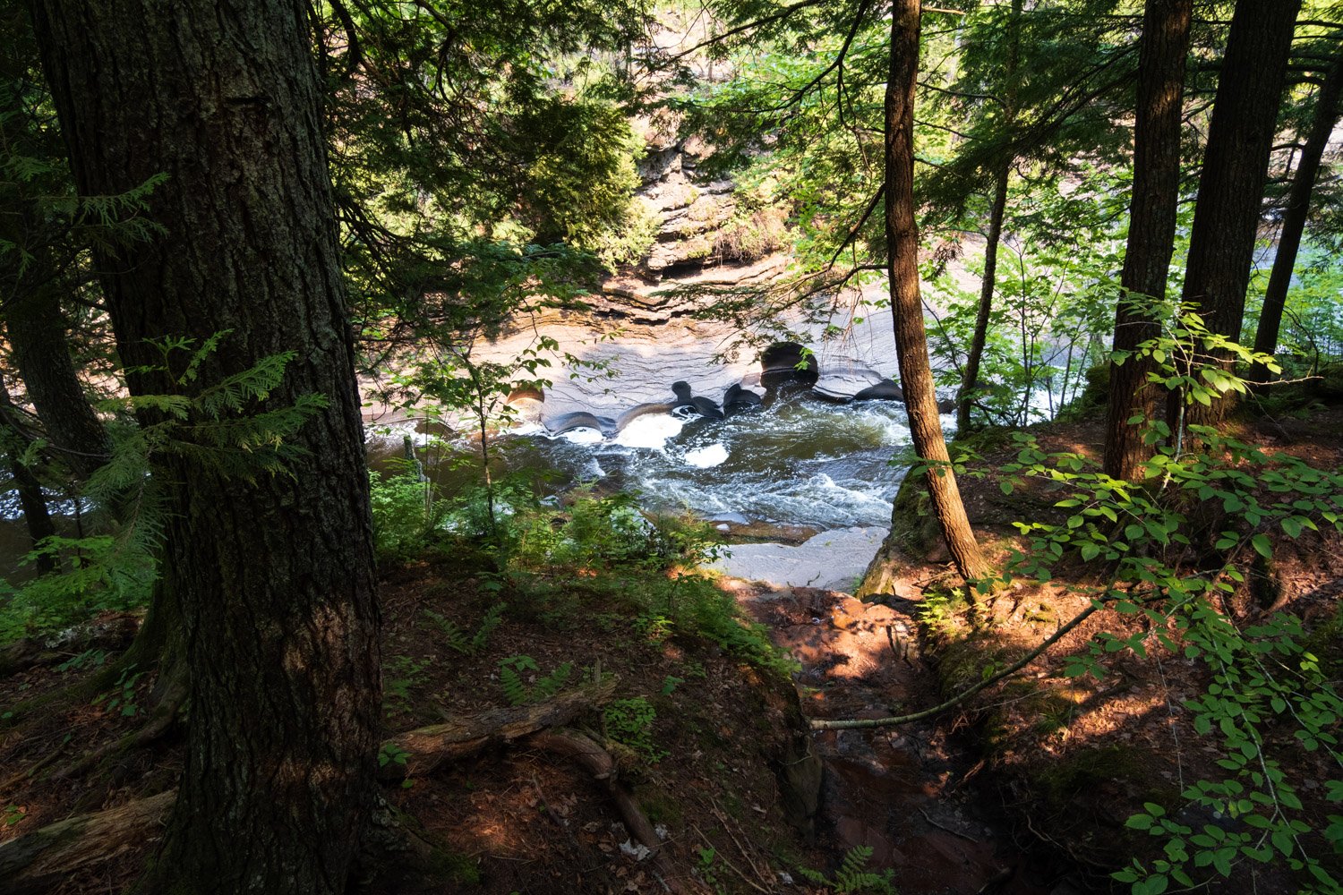
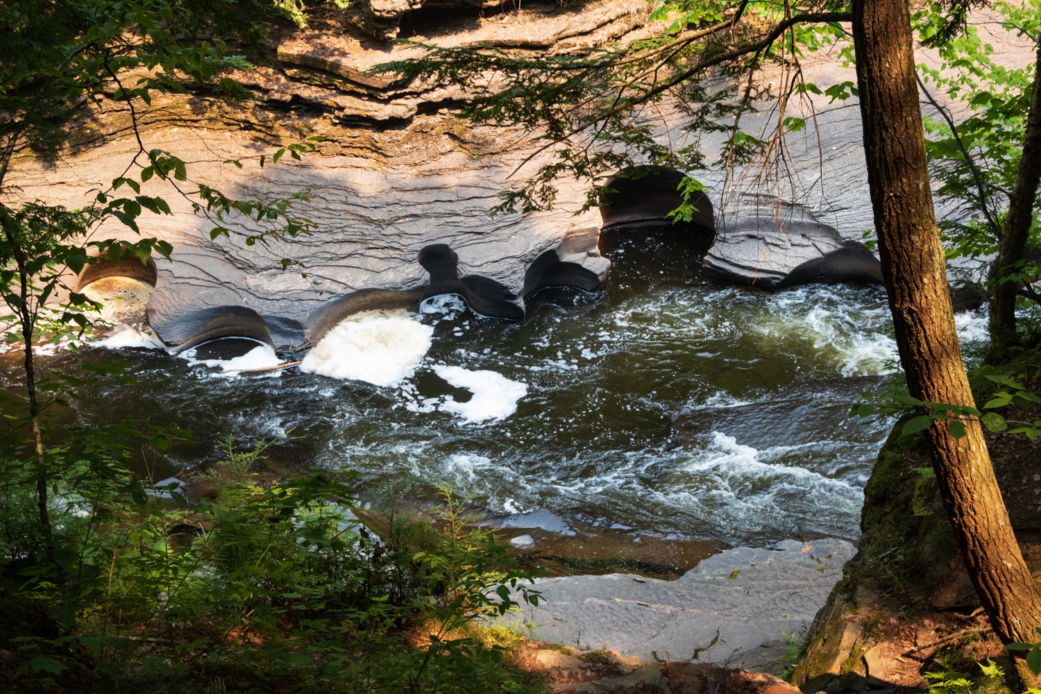
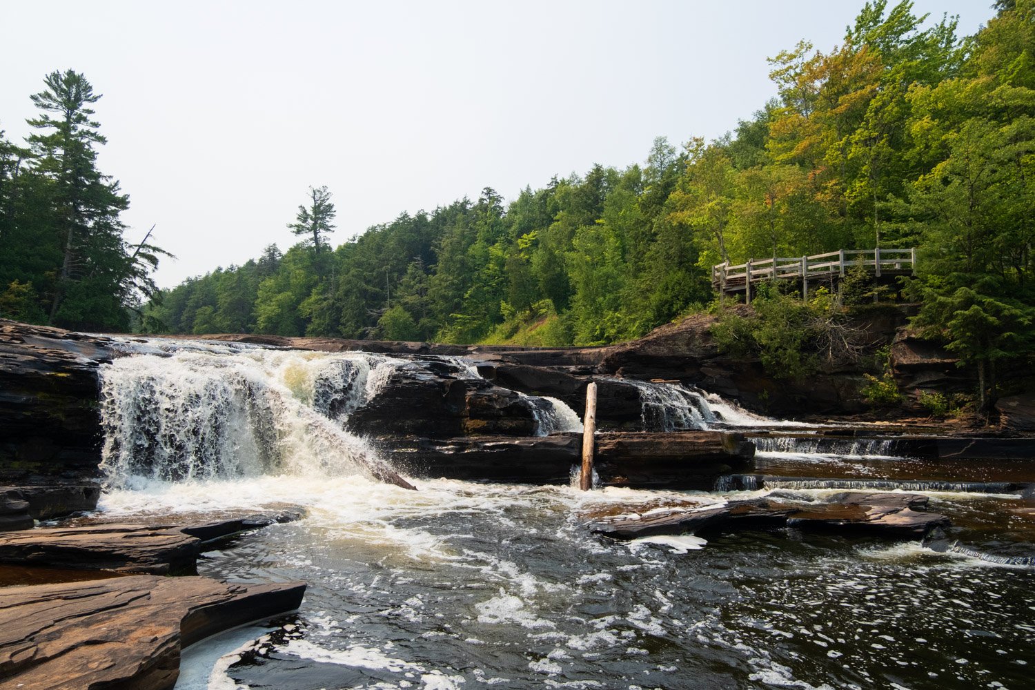
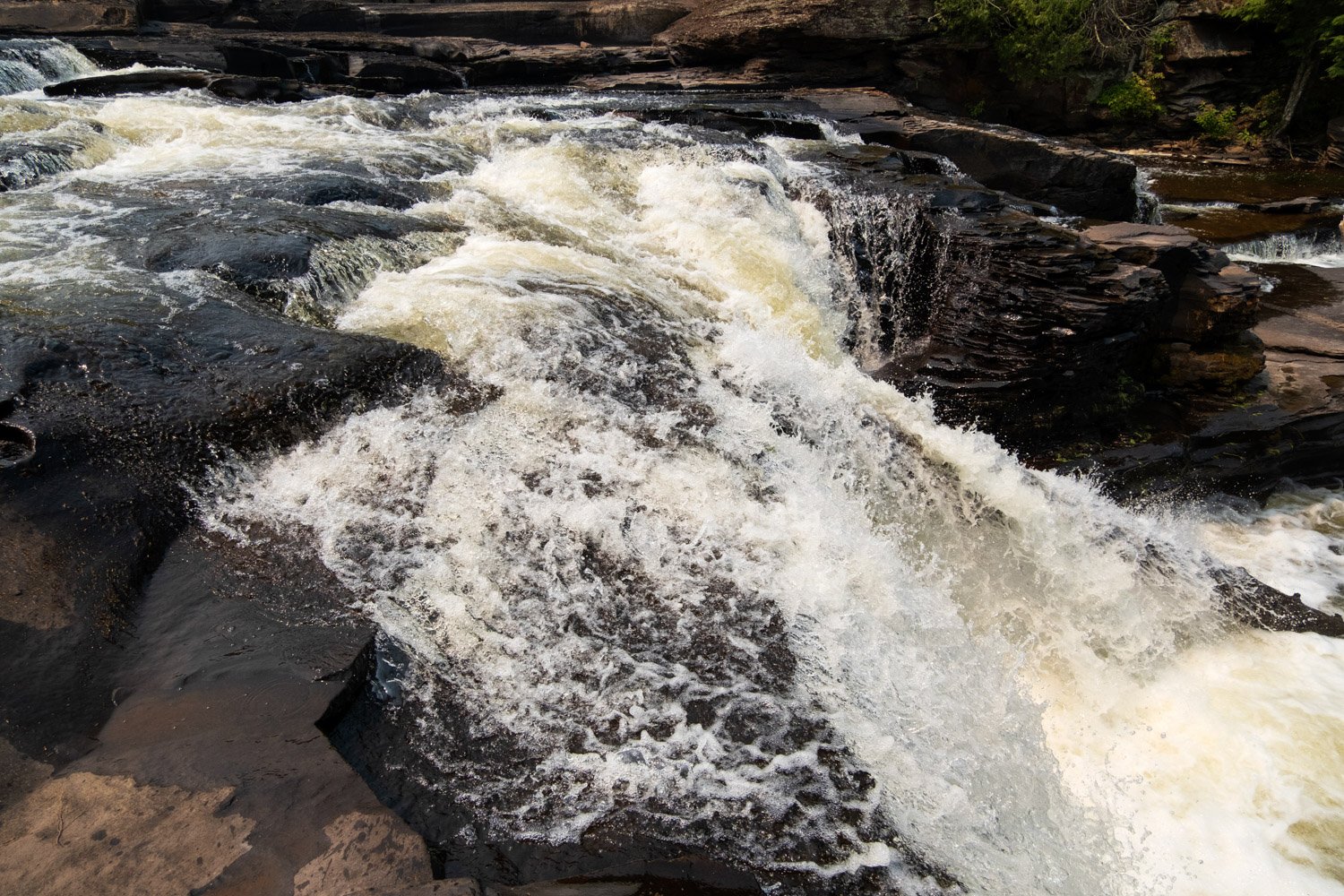
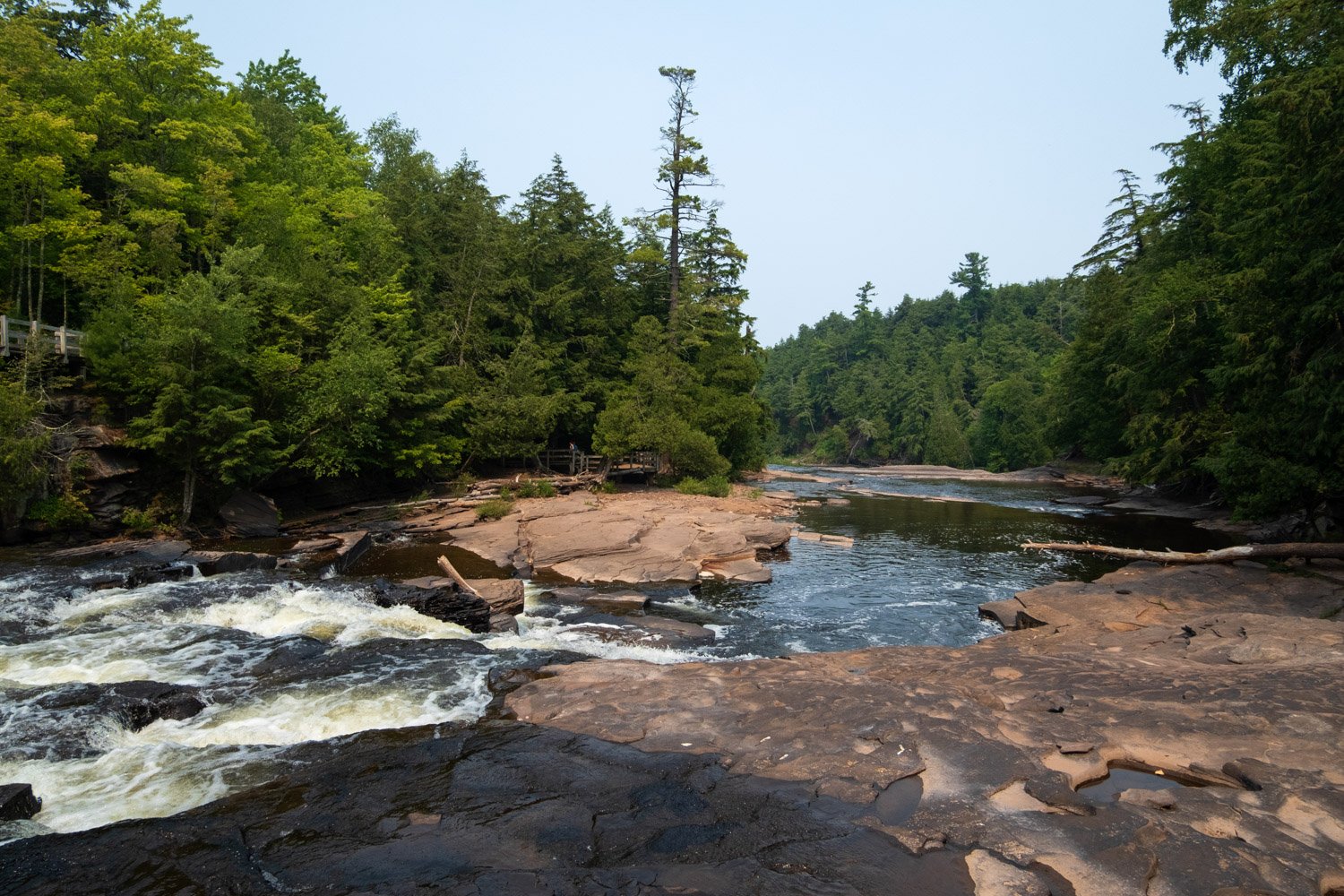
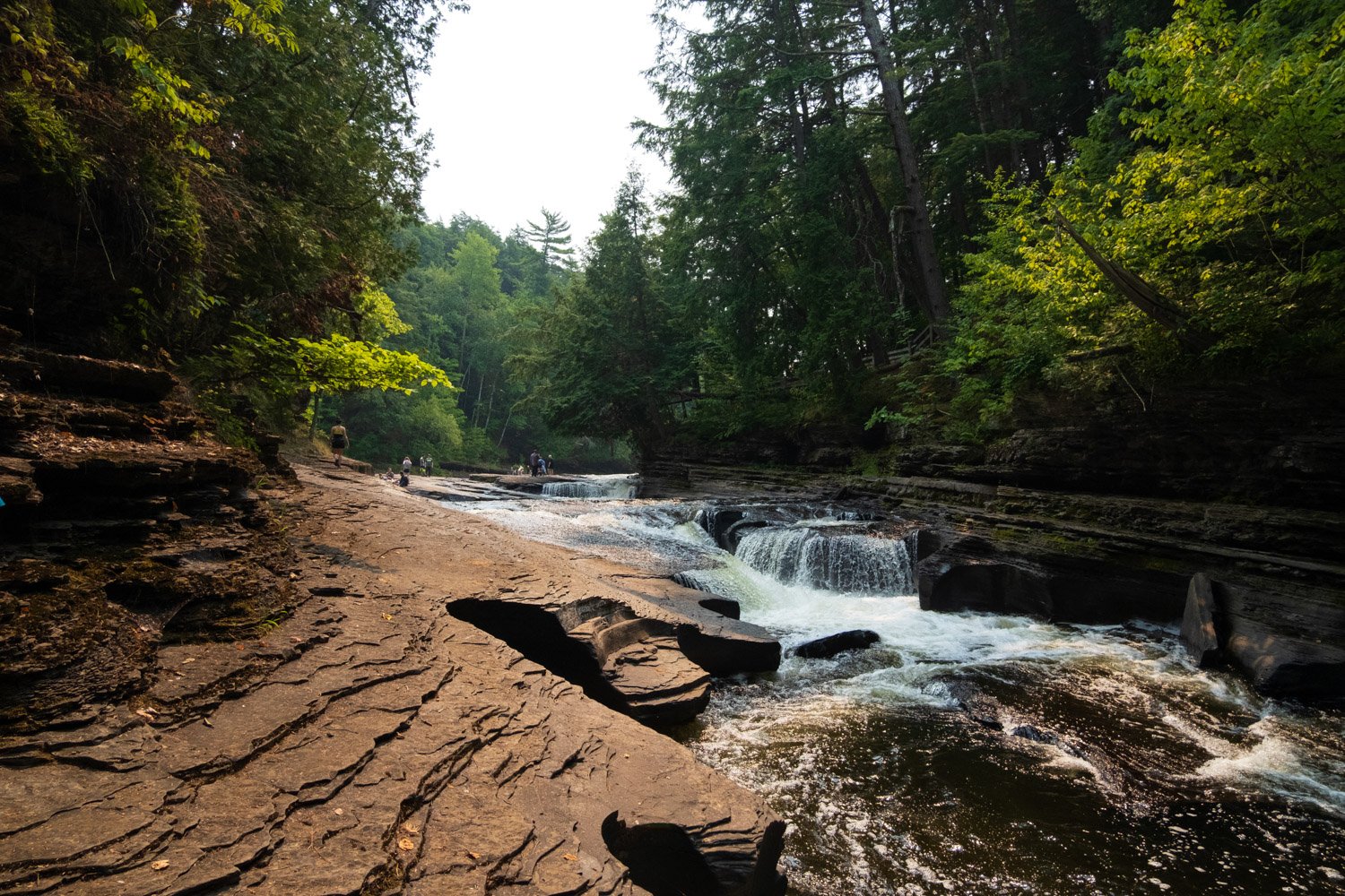
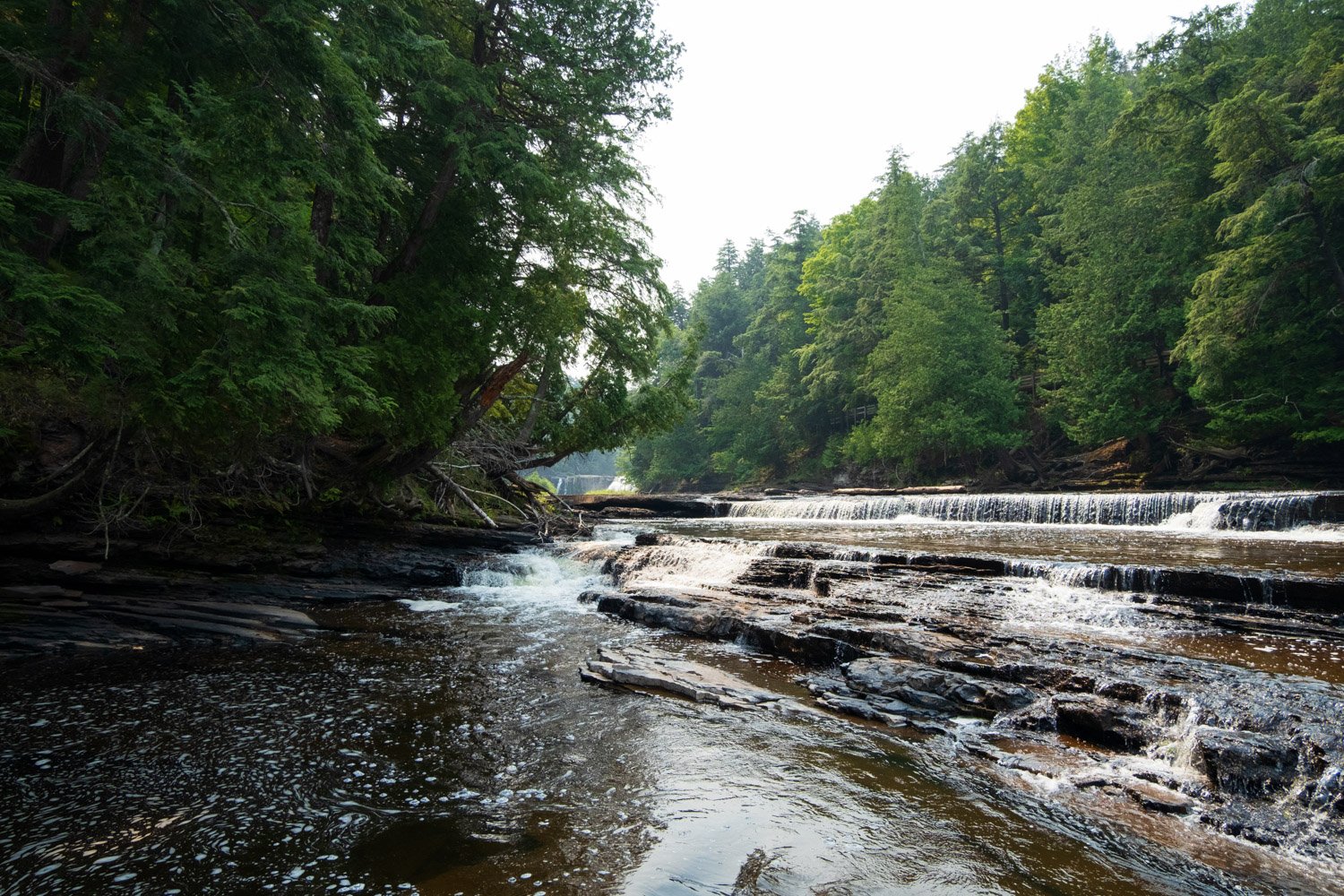
The East & West Presque Isle River Trail is a roughly three-mile loop that starts by crossing the Presque Isle Suspension Bridge, loops around Presque Isle, across the rocky riverbed, up and over the eastern ridge, over the South Boundary Road bridge, and back down the western side of the river that is complete with wooden boardwalks. Although you cannot hike the loop in the spring due to high water levels from the snow melt crossing the trail, it is easily accessible for most of the year before the snow flies. Although the views of the falls are not as triumphant from the eastern trail on the ridge above the river due to the tree cover, we enjoyed that part of the trail much more than the boardwalk-ed western side. You can get down close to the river at numerous points, and some of the views of the falls you come across are breathtaking. The western side does have its positives, being a lot closer to the parking area, accessible for folks who cannot go off maintained trails, and offering unique views over a number of the bigger drops on the river. The western side is stair heavy which could be an issue for some folks, but we found them to be manageable. If you can, I recommend the entire loop, as both sides of the trail have their positives and offer unique viewpoints of one of Michigan's prettiest stretches of river.
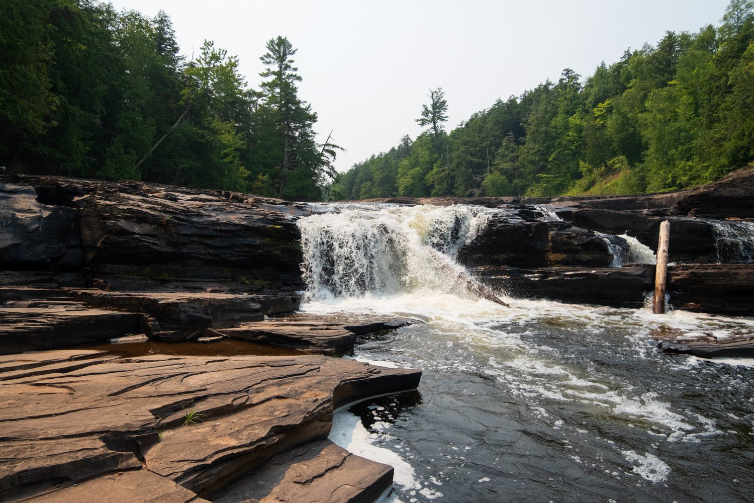
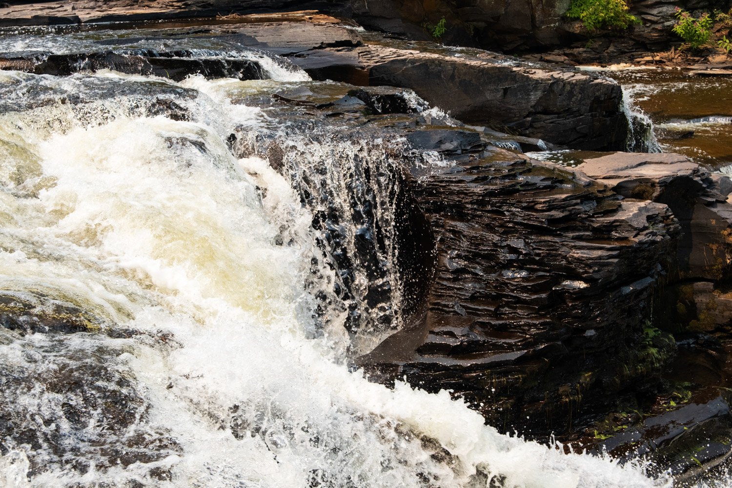
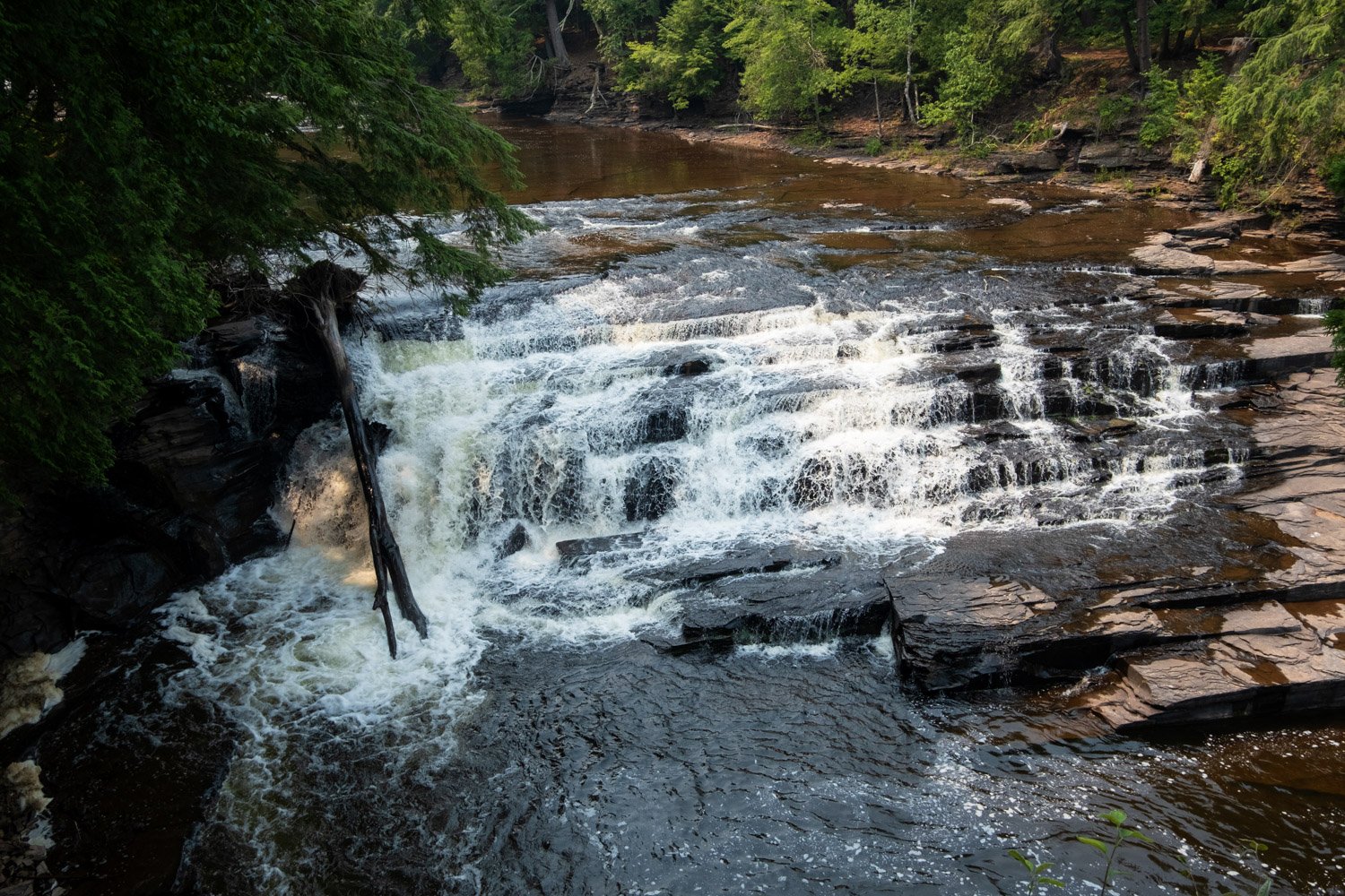
Manabezho Falls
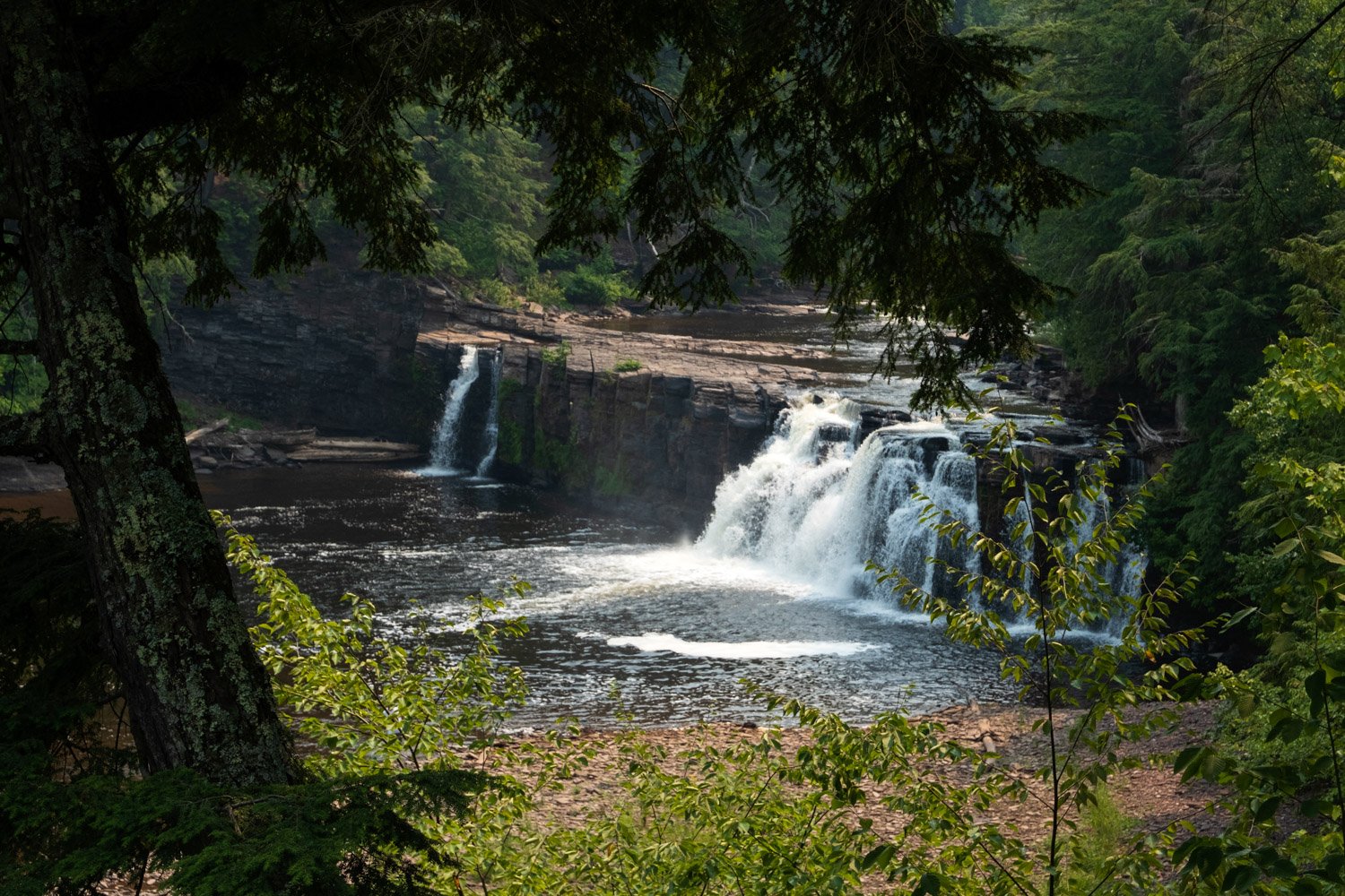
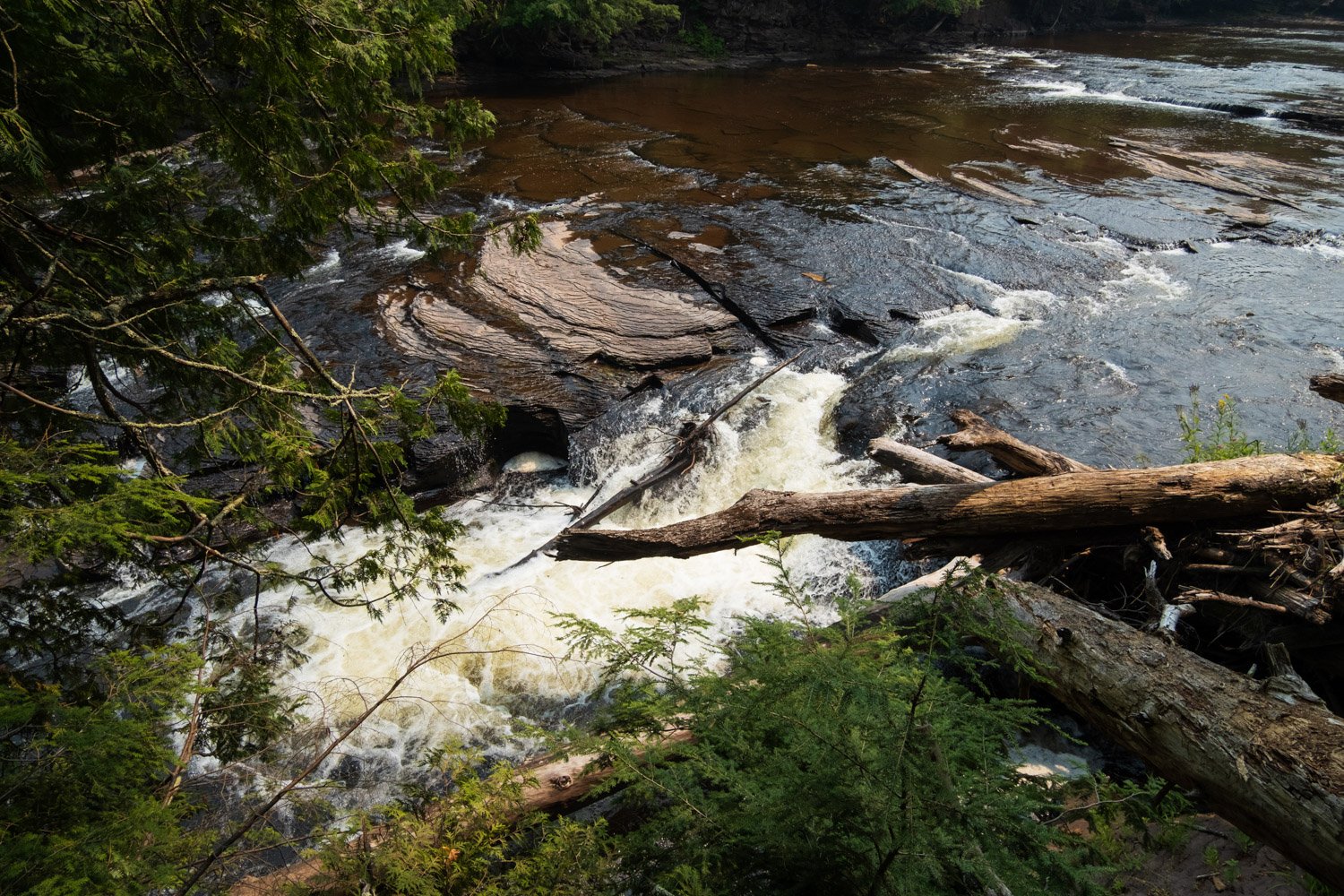
Manabezho Falls is the first waterfall you will reach when hiking away from Lake Superior on the Presque Isle River Trail. It is the tallest of the falls on the river, falling 25 feet. Manabezho is an Ojibwe spirit god which is where the falls received its name. It is best viewed from the western trail as the tree cover makes it almost impossible to see from the eastern side, although you can hear it and see the overflow splashing about between the trees, which is very cool.
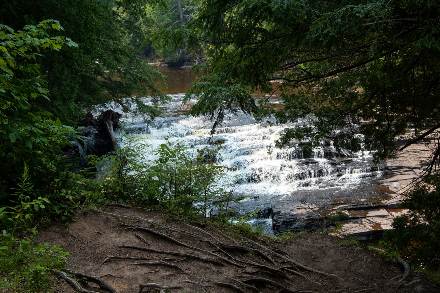
Manido Falls
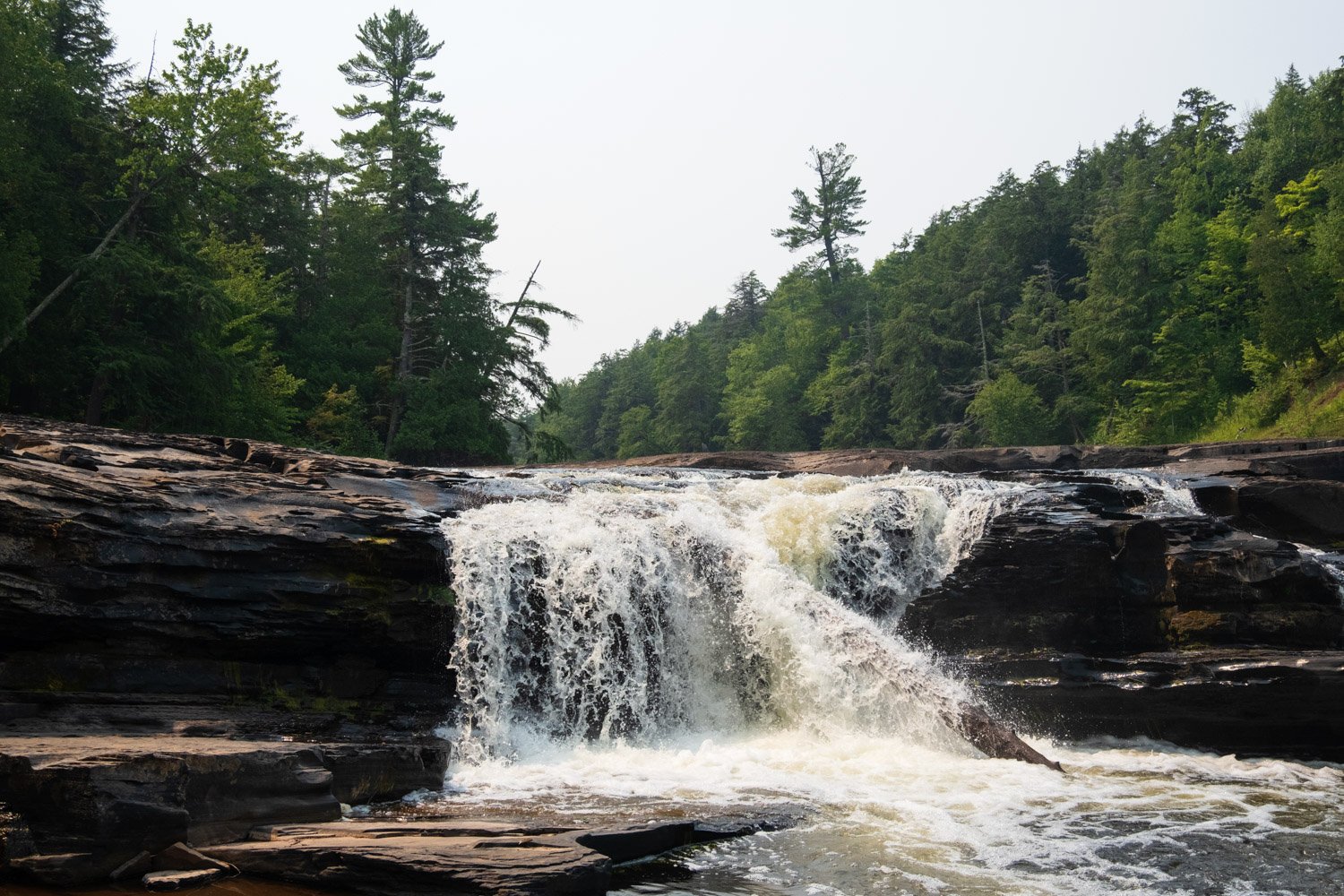
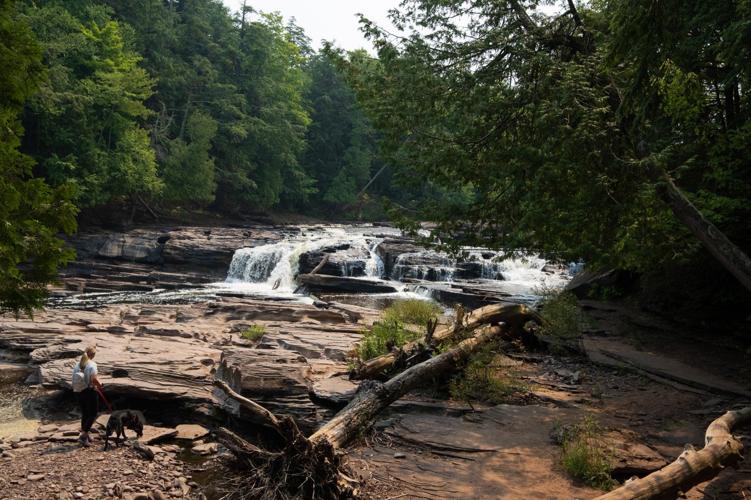
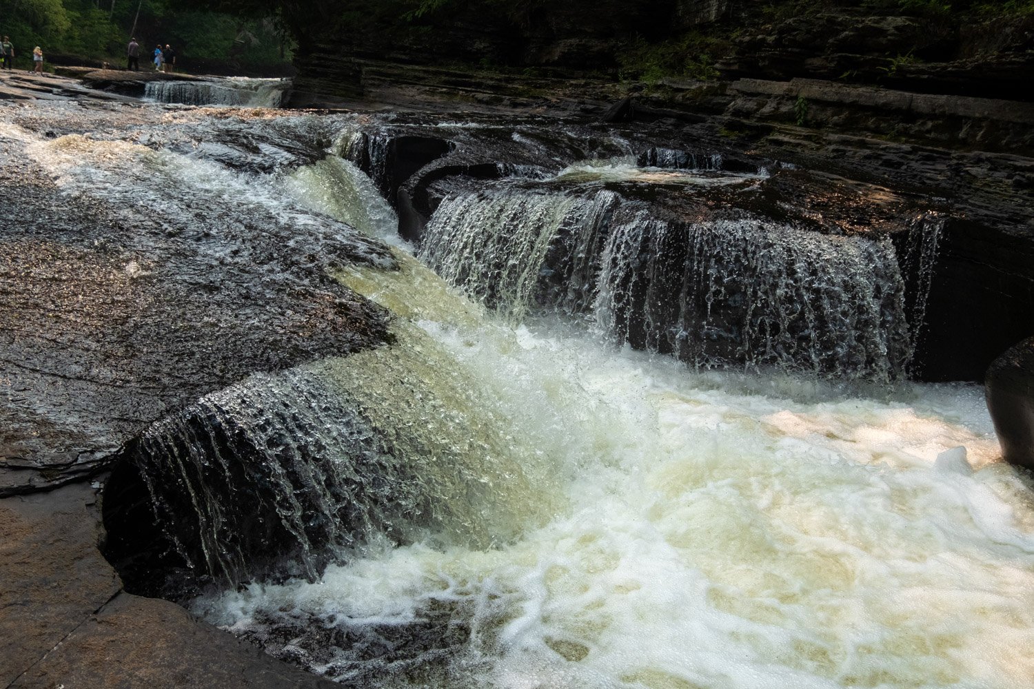
Manido Falls is the second waterfall you will reach when hiking away from Lake Superior on the Presque Isle River Trail. It is the shortest fall, roughly 10 feet, but it is the one you can get closest to via the eastern side of the trail. We climbed around the falls and enjoyed feeling its power from a safe distance. I found the definition of Manidoo in an Ojibwe translation dictionary, and it was said to mean ‘a manitou, a spirit, god.’
Nawadaha Falls
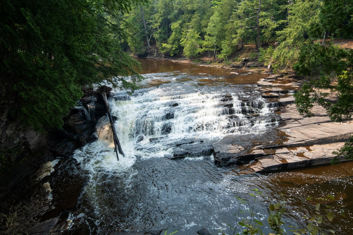
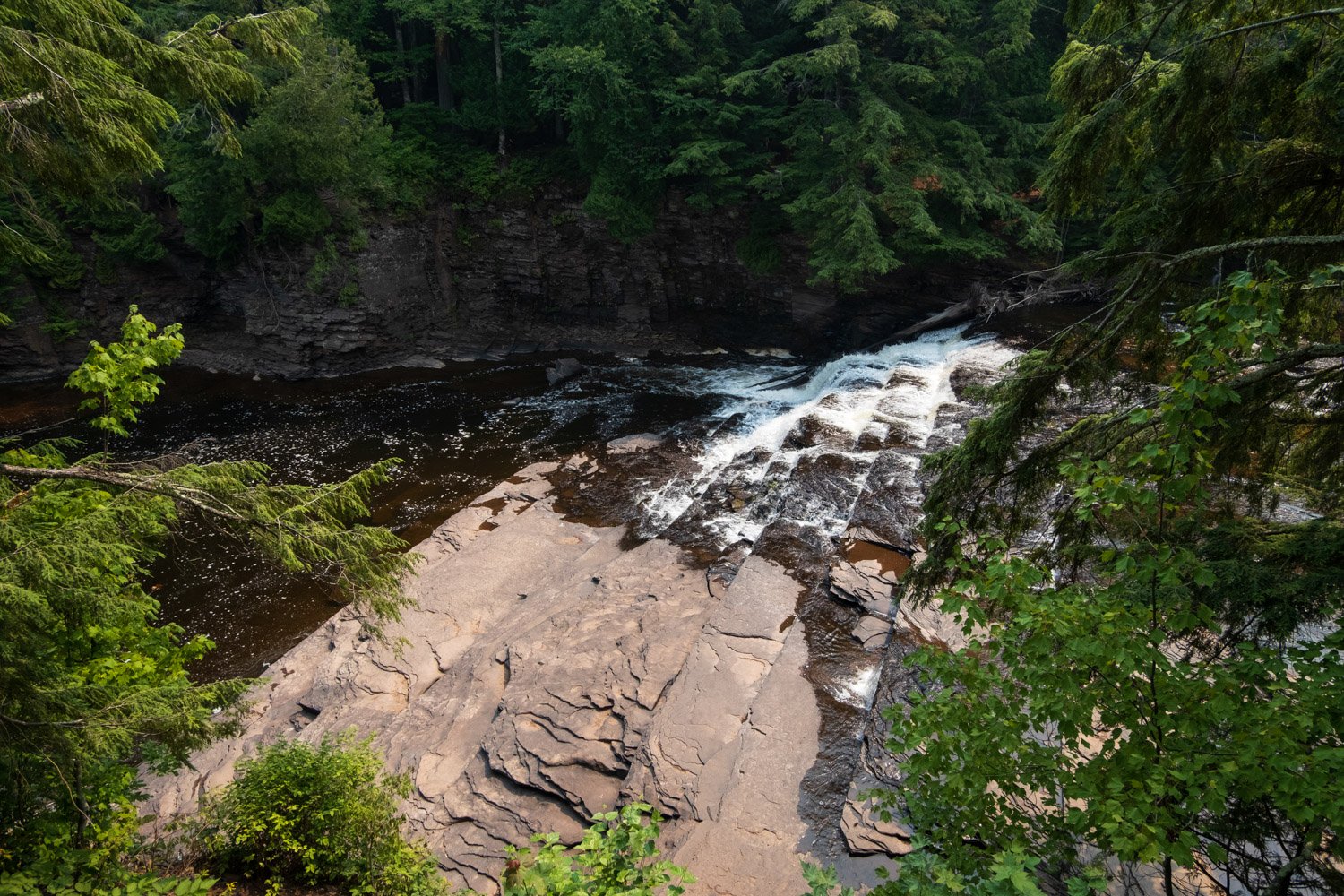
Nawadaha Falls is the third and final proper waterfall you will reach when hiking away from Lake Superior on the Presque Isle River Trail. This waterfall is not particularly tall, standing only 15 or so feet, but it is very wide. The best view of Nawadaha Falls is from a perch atop the eastern side of the trail, and I would say that it is hard to view from the western side, at least in the summer when the water does not crest the entire width of the river. One online dictionary said that Nawadaha means ‘musician.’ Still, it is also thought that the word could have been misheard and originally was nawadjiwan, which has been reported online to mean ‘in the midst of river rapids.’
Presque Isle
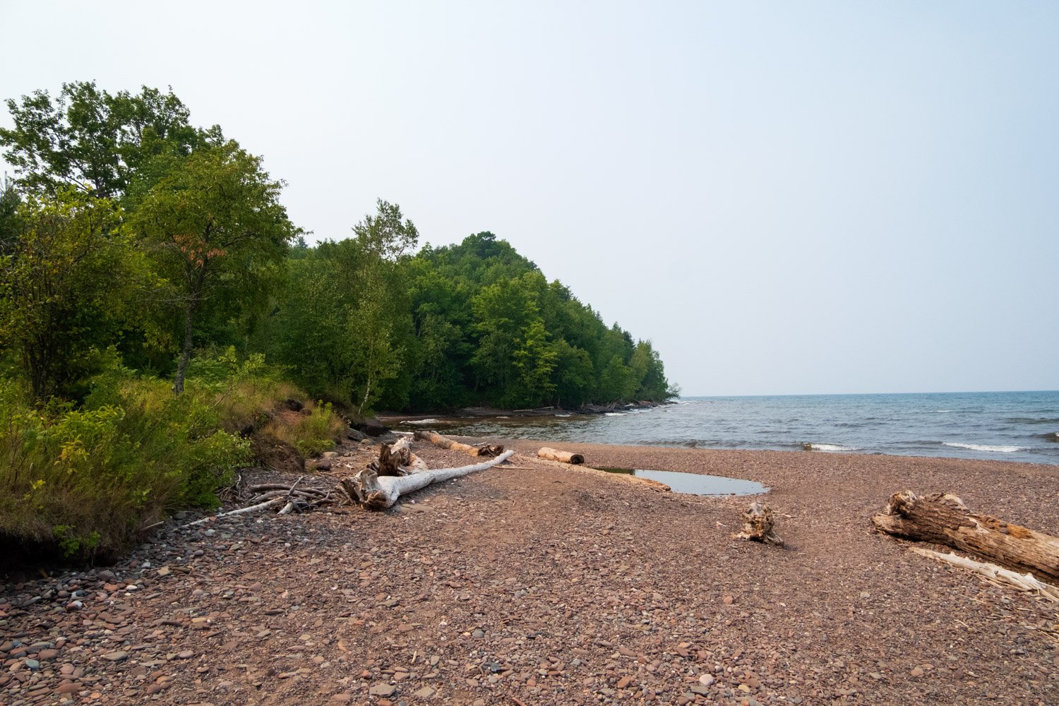
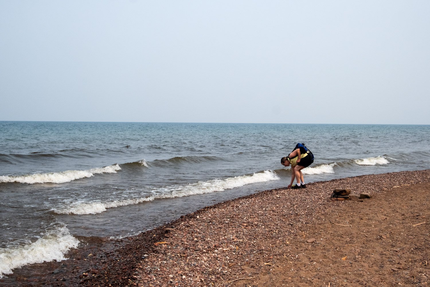
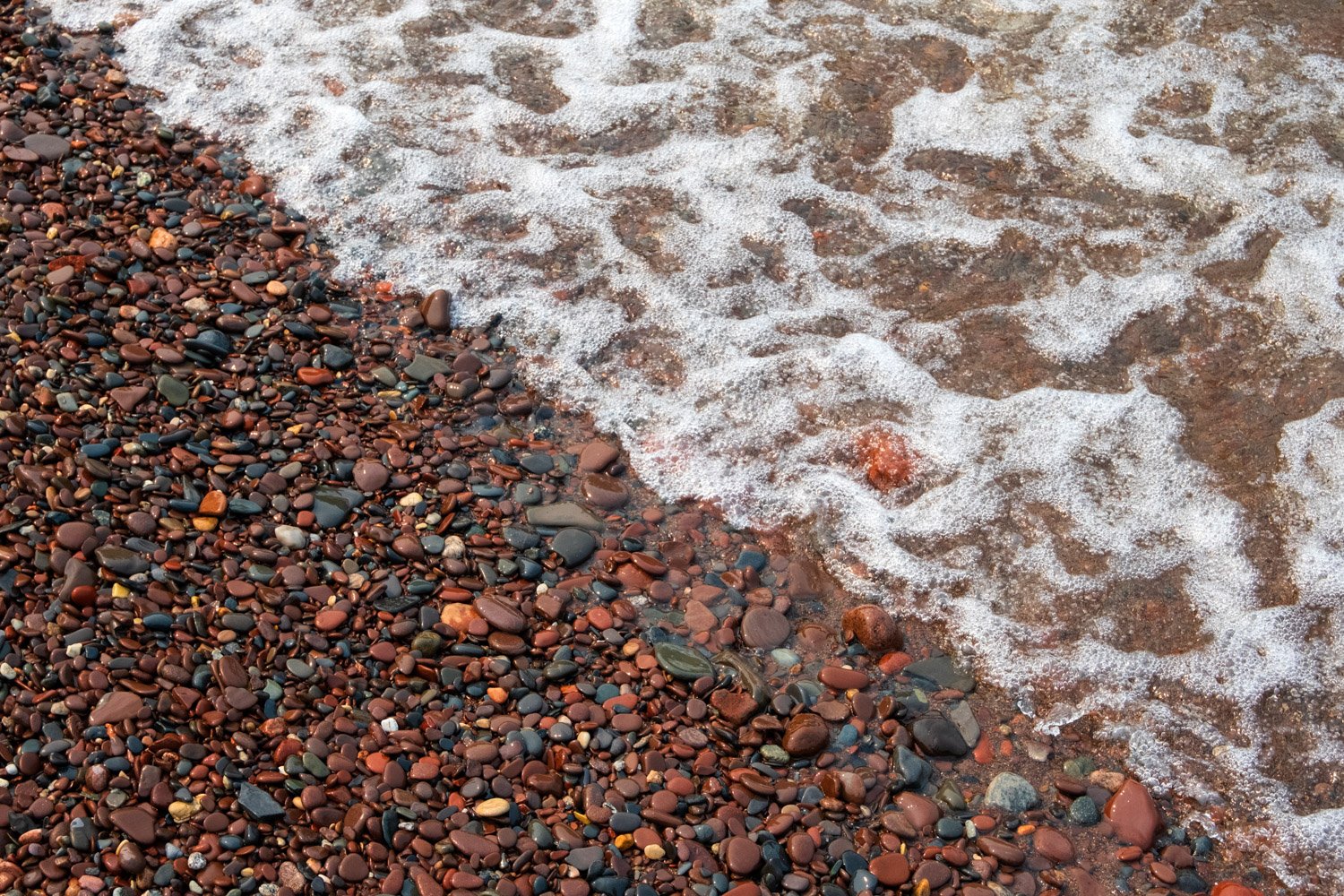
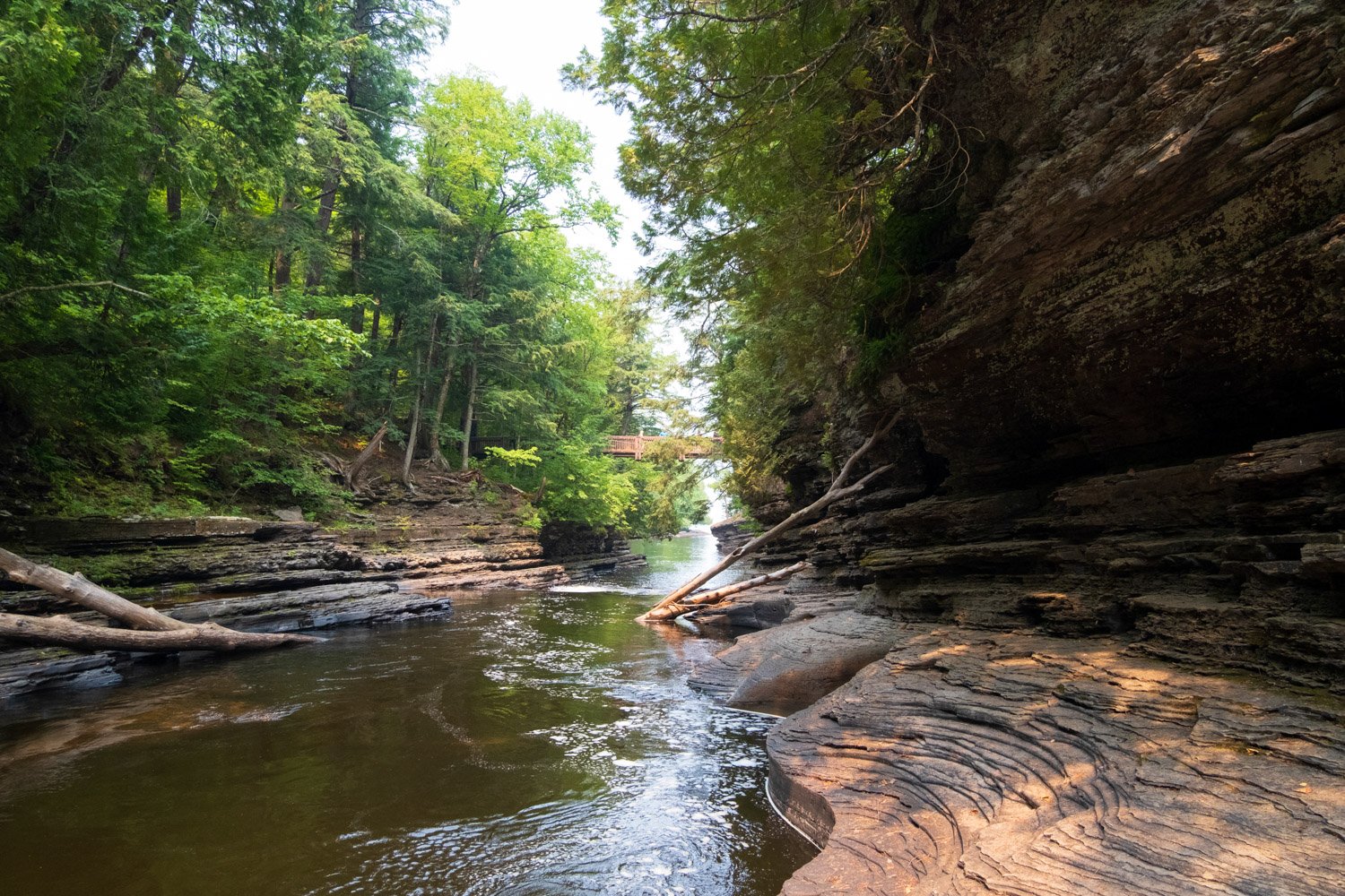
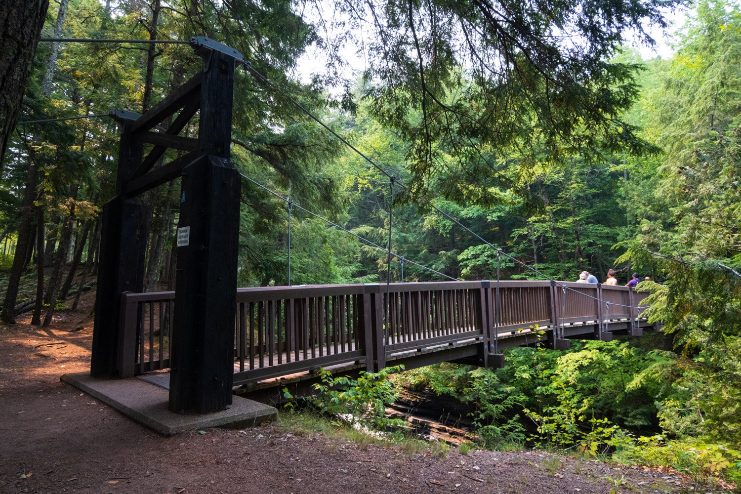
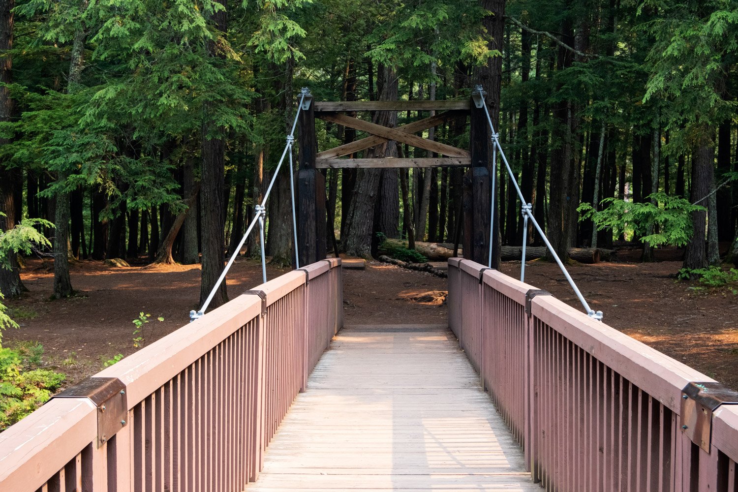
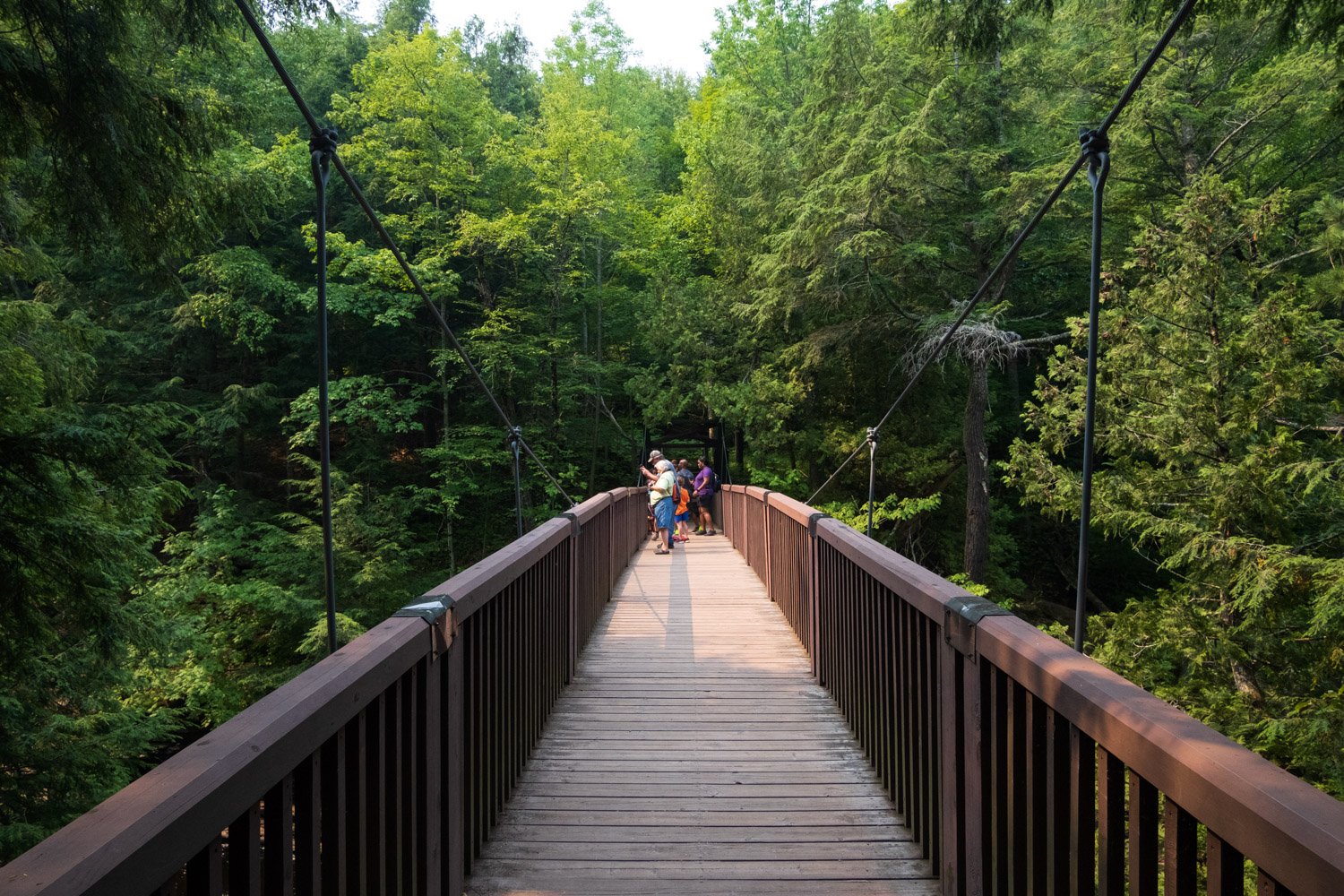
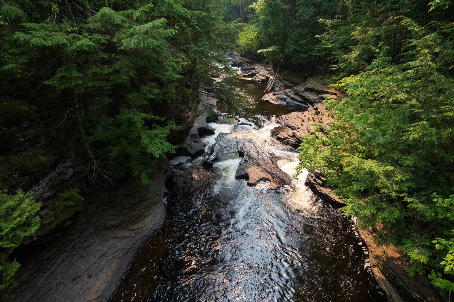
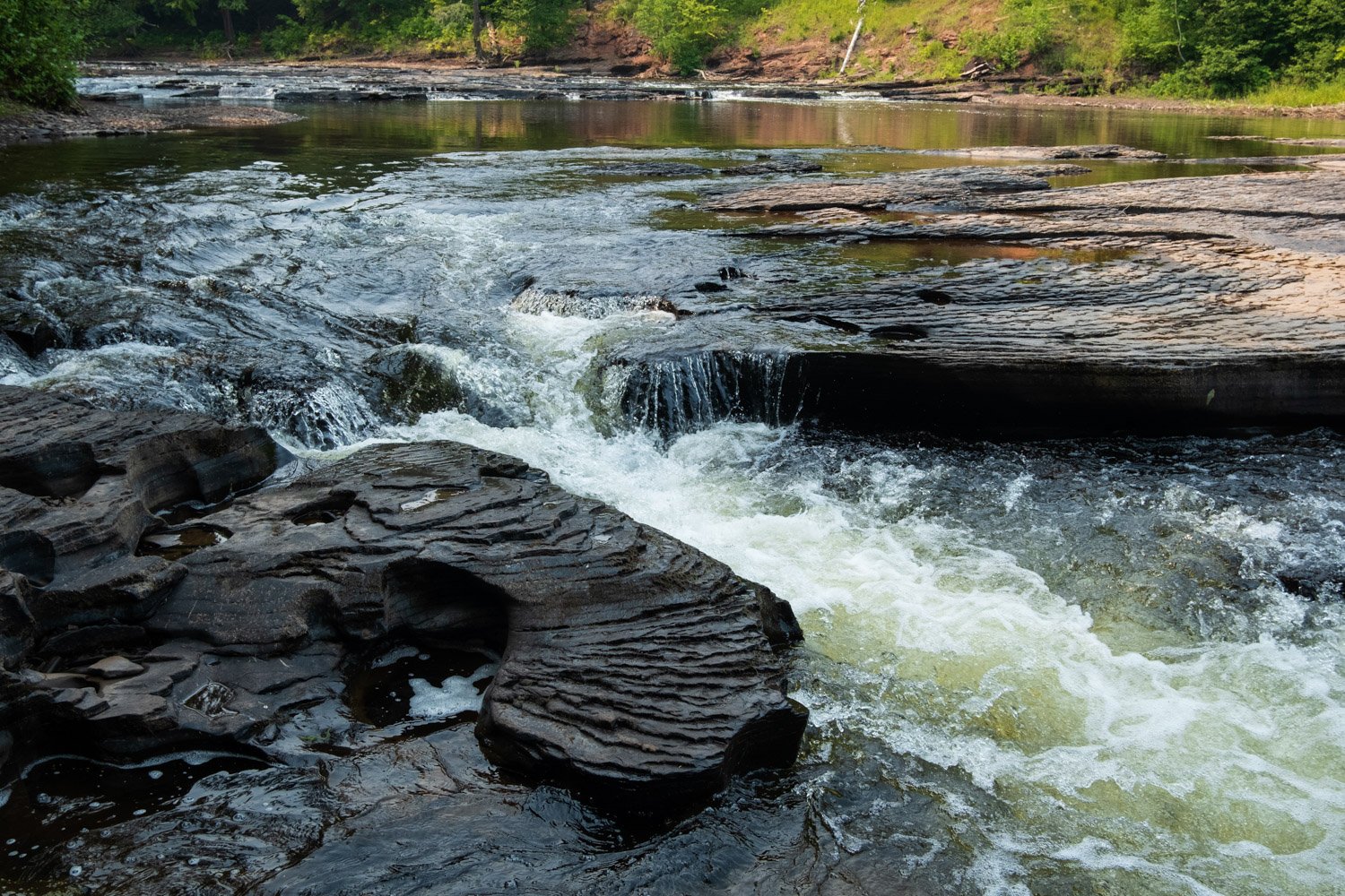
Presque Isle is French for ‘almost island,’ and you get a real physical example of that while exploring this part of the park. The Presque Isle River cuts through the west side of the almost-island, and on the east side, there is a large basin of water that appears very river-like, but it is contained by a beach on the Lake Superior side and a large swath of rock on the other side. The rocky side appears to be a waterfall in the springtime when the water level is high, and it is easy to tell that the water could overcome the beach on the Lake Superior side if even just a hard rain fell. I plan to visit in the springtime to see the water basin flowing because I think that would be quite beautiful. Heading out to Lake Superior, you can see the mouth of the Presque Isle River, tons of driftwood littering the beach, and a nice collection of rocks for hunting. To access the almost island, go over a neat wooden suspension bridge. The bridge has a great view of the unique circular cuts in the bedrock on the sides of the river and of some of the rapids upriver. If you head left after crossing the bridge, you will end up on the shore of Lake Superior, and if you head right, you will end up on the East Presque Isle River Trail towards the waterfalls.